DeSoto National Wildlife Refuge
DeSoto National Wildlife Refuge, created in 1958, is located along the banks of the Missouri River in the U.S. states of Iowa and Nebraska. The 8,362-acre (3,384 ha) refuge preserves an area that would have been otherwise lost to cultivation. In 1960, an Army Corps of Engineers channelization project on the Missouri River moved the main river channel in the area to the west. The former river channel became DeSoto Lake, a seven-mile long oxbow lake. As a result, part of the Nebraska portion of the refuge lies on the east side of the Missouri River.
The refuge on June 20, 2011, during the 2011 Missouri River flood. The oxbow lake is in the upper left. Five days later, a levee breach resulted in the refuge closing after being nearly totally inundated. The Fort Calhoun Nuclear Generating Station is in the foreground.
DeSoto Lake was once part of the Missouri River, but rechannelization projects cut a large bend out of the river, forming the lake at Desoto NWR
Red-headed woodpecker at DeSoto NWR.
DeSoto NWR center, housing the Bertrand exhibit.
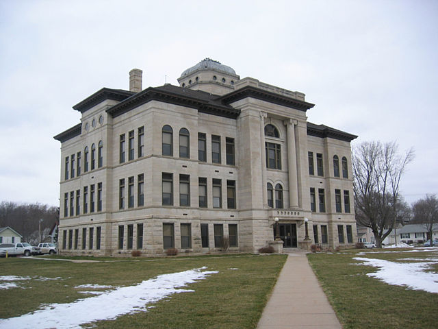
Harrison County is a county located in the U.S. state of Iowa. As of the 2020 census, the population was 14,582. The county seat is Logan. The county was formed in 1851. It was named for the ninth US President William Henry Harrison.
Harrison County Courthouse