De Fryske Marren is a municipality of Friesland in the northern Netherlands. It was established 1 January 2014 and consists of the former municipalities of Gaasterlân-Sleat, Lemsterland, Skarsterlân and parts of Boarnsterhim, all four of which were dissolved on the same day. The municipality is located in the province of Friesland, in the north of the Netherlands, and has a population of 51,778 and a combined area of 559.93 km2 (216.19 sq mi).
Image: Joure, straatzicht met kerk foto 4 2011 04 26 17.19
Image: Joure gemeentehuis 2008
Image: Sloten 3
Image: Loopbrug over de Luts
Friesland, historically and traditionally known as Frisia, named after the Frisians, is a province of the Netherlands located in the country's northern part. It is situated west of Groningen, northwest of Drenthe and Overijssel, north of Flevoland, northeast of North Holland, and south of the Wadden Sea. As of January 2023, the province had a population of about 660,000, and a total area of 5,753 km2 (2,221 sq mi).
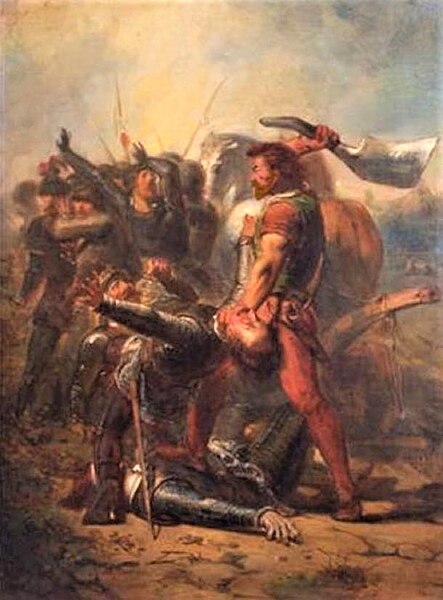
Pier Gerlofs Donia in 1516 as depicted in a 19th-century painting by Johannes Hinderikus Egenberger
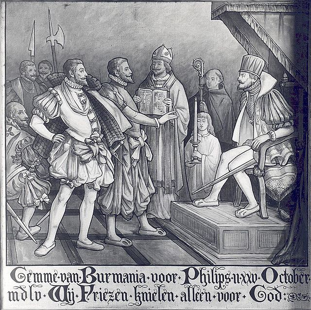
The Frisian representative refusing to kneel before Philip II at his coronation
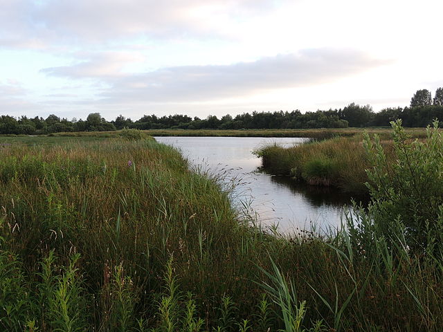
De Alde Feanen National Park
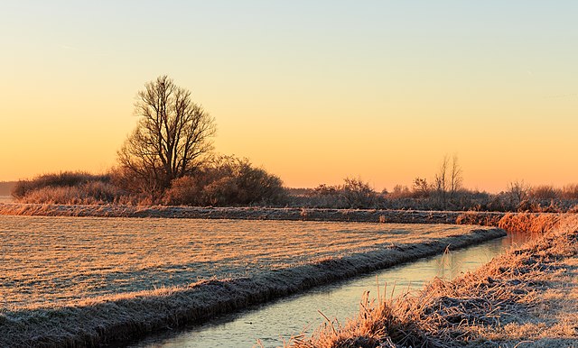
De Fryske Marren


