Dead Sea Transform
Videos
Page
The Dead Sea Transform (DST) fault system, also sometimes referred to as the Dead Sea Rift, is a series of faults that run for about 1,000 km from the Maras Triple Junction to the northern end of the Red Sea Rift. The fault system forms the transform boundary between the African Plate to the west and the Arabian Plate to the east. It is a zone of left lateral (sinistral) displacement, signifying the relative motions of the two plates. Both plates are moving in a general north-northeast direction, but the Arabian Plate is moving faster, resulting in the observed left lateral motions along the fault of approximately 107 km at its southern end. A component of extension is also present in the southern part of the transform, which has contributed to a series of depressions, or pull-apart basins, forming the Gulf of Aqaba, Dead Sea, Sea of Galilee, and Hula basins. A component of shortening affects the Lebanon restraining bend, leading to uplift on both sides of the Beqaa valley. There is local transtension in the northernmost part of the fault system, forming the Ghab pull-apart basin. The fault system runs roughly along the political border of Israel, Jordan, and Lebanon.

Panorama of Jordan Valley
Fault (geology)
Videos
Page
In geology, a fault is a planar fracture or discontinuity in a volume of rock across which there has been significant displacement as a result of rock-mass movements. Large faults within Earth's crust result from the action of plate tectonic forces, with the largest forming the boundaries between the plates, such as the megathrust faults of subduction zones or transform faults. Energy release associated with rapid movement on active faults is the cause of most earthquakes. Faults may also displace slowly, by aseismic creep.

Satellite image of a fault in the Taklamakan Desert. The two colorful ridges (at bottom left and top right) used to form a single continuous line, but have been split apart by movement along the fault.

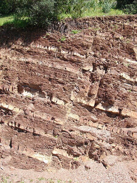
Normal fault in La Herradura Formation, Morro Solar, Peru. The light layer of rock shows the displacement. A second normal fault is at the right.
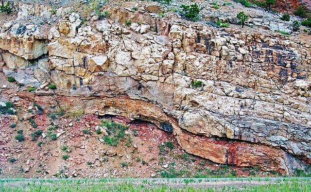
A fault in Morocco. The fault plane is the steeply leftward-dipping line in the centre of the photo, which is the plane along which the rock layers to the left have slipped downwards, relative to the layers to the right of the fault.
Normal fault and drag folds (eastern flanks of the Bighorn Mountains, Wyoming, US)