December 15–17, 2020 nor'easter
Videos
Photos
The December 15–17, 2020 nor'easter was a powerful nor'easter that hammered the Northeastern United States and produced widespread swaths of over 1 foot (12 in) of snow in much of the region from December 15–17, 2020, ending a 1,000+ day high-impact snowstorm drought in much of the Mid-Atlantic and coastal New England regions. The system developed out of a weak area of low-pressure that first developed over the Central United States producing some snowfall before moving eastward, and by December 16, a new, dominant area of low pressure began to develop along the Southeast coast. This low steadily deepened as it moved along and impacted the Mid-Atlantic coastline, prompting several winter-related advisories and warnings for much of the Northeast.

GOES-16 satellite image of the nor'easter off the New England coast at 15:56 UTC (10:56 a.m. EST) on December 17, with an eye-like feature

Snowfall accumulation in Essex County, New Jersey, on December 17, 2020

Snowfall accumulation in Newark Valley, NY on December 17, 2020

A panoramic view of 14 inches (36 cm) of snow blanketing Lexington, MA on December 18, 2020
Nor'easter
Videos
Photos
A nor'easter, is a large-scale extratropical cyclone in the western North Atlantic Ocean. The name derives from the direction of the winds that blow from the northeast. The term is commonly used in the winter in New England and Atlantic Canada.

Nor'easter off the New England coast of the United States responsible for the January 2018 North American blizzard

Compass card (1607), featuring the spelling "Noreast"
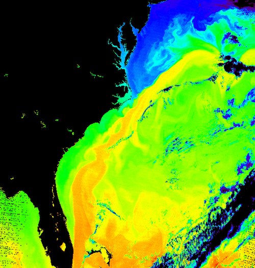
Surface temperature of the sea off the east coast of North America. The corridor in yellow gives the position of the Gulf Stream.