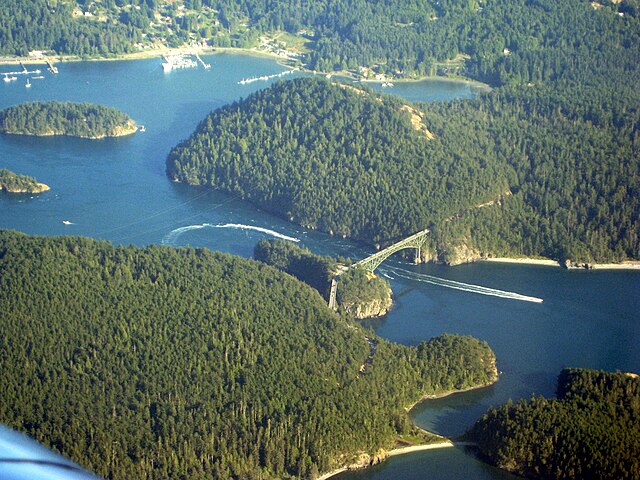
Deception Pass is a strait separating Whidbey Island from Fidalgo Island, in the northwest part of the U.S. state of Washington. It connects Skagit Bay, part of Puget Sound, with the Strait of Juan de Fuca. A pair of bridges known collectively as Deception Pass Bridge cross Deception Pass. The bridges were added to the National Register of Historic Places in 1982.
Aerial view of Deception Pass looking southeast
Deception Island
View looking south from Pass Island. From left to right, are visible Strawberry Island, part of Ben Ure Island, the bulk of Whidbey Island and the south span of the Deception Pass Bridge.
Plaque explaining the history of Deception Pass: Deception Pass - Named By Captain George Vancouver 10 June 1792. Feeling That He Had Been "Deceived" As To The Nature Of The Inner Waterway, Port Gardner (Now Saratoga Passage) he Wrote On His Chart "Deception Pass."
Whidbey Island is the largest of the islands composing Island County, Washington, in the United States, and the largest island in Washington state. Whidbey is about 30 miles (48 km) north of Seattle, and lies between the Olympic Peninsula and the I-5 corridor of western Washington. The island forms the northern boundary of Puget Sound. It is home to Naval Air Station Whidbey Island. The state parks and natural forests are home to numerous old growth trees.
Cultus Bay at Low Tide
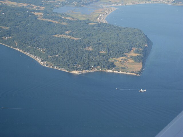
Double Bluff, with Useless Bay to the South (right) and Mutiny Bay to the North (left)
On the Bluff Trail in Ebey's Landing National Historical Reserve
Looking east over Swantown Lake


