Derbyshire Dales is a local government district in Derbyshire, England. The district was created in 1974 as West Derbyshire; the name was changed to Derbyshire Dales in 1987. The council is based in the town of Matlock, and the district also includes the towns of Ashbourne, Bakewell, Darley Dale and Wirksworth, as well as numerous villages and extensive rural areas. Much of the district is within the Peak District National Park.
Skyline of Matlock, both the administrative centre of Derbyshire Dales and the official county town of Derbyshire
Derbyshire Dales
Bakewell, which is famous for being the home of the Bakewell tart.
Ashbourne, known for being both the start of the Tissington Trail and St Oswald's Church
Derbyshire is a ceremonial county in the East Midlands of England. It borders Greater Manchester, West Yorkshire, and South Yorkshire to the north, Nottinghamshire to the east, Leicestershire to the south-east, Staffordshire to the south and west, and Cheshire to the west. Derby is the largest settlement, and Matlock is the county town.
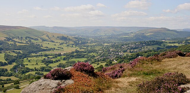
Image: Near Hathersage, Peak District 8 (cropped, edited)
Image: Masson Mill in Matlock Bath geograph.org.uk 2631130
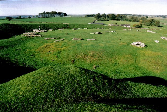
The henge monument at Arbor Low
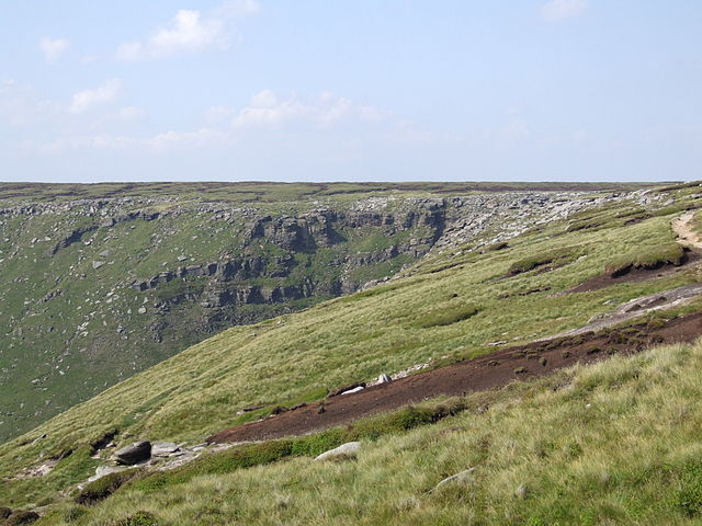
The rugged moorland edge of the southern Pennines at Kinder Downfall


