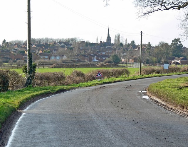
Desford is a village and civil parish in the Hinckley and Bosworth district of England, 7 miles (11 km) west of the centre of Leicester and around 7 miles north east of Hinckley. Situated on a hill approximately 400 feet above sea level, the parish includes the hamlets of Botcheston and Newtown Unthank and a scattered settlement at Lindridge. The population at the 2021 census had increased to 4,592. Desford is in the Doomsday Book of 1086 but the name itself is older than that meaning Deor's Ford suggesting an Anglo Saxon origin. Another suggestion is that it means 'ford frequented with wild animals'.
St. Martin's parish church
Hinckley and Bosworth is a local government district with borough status in Leicestershire, England. The council is based in Hinckley, the largest town. The borough also includes the town of Earl Shilton and numerous villages and surrounding rural areas. The Bosworth in the borough's name refers to the small market town of Market Bosworth, near which the Battle of Bosworth Field was fought in 1485.
Hinckley, the administrative centre and largest town in the borough
Hinckley and Bosworth
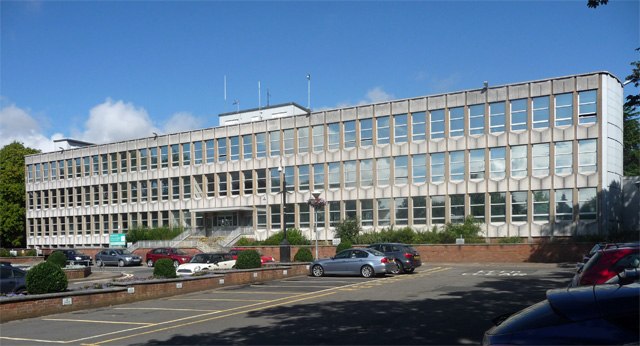
Former Council Offices, Argents Mead, Hinckley: demolished 2014.
Earl Shilton, the second largest town in the borough