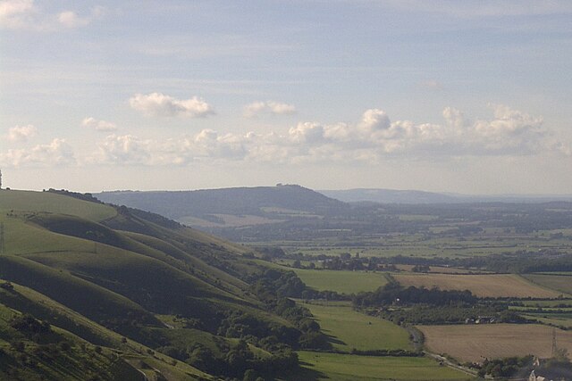
Devil's Dyke is a 100 metre (300') deep V-shaped dry valley on the South Downs in Sussex in southern England, 5 miles (8.0 km) north-west of Brighton. It is managed by the National Trust, and is also part of the Beeding Hill to Newtimber Hill Site of Special Scientific Interest. Devil's Dyke was a major local tourist attraction in the late 19th and early 20th centuries. It is now a popular viewpoint and site for walking, model aircraft flying and hang gliding. The South Downs Way passes the site.
View of Devil's Dyke
The Devil's Dyke Hotel and Restaurant.
View from Devil's Dyke
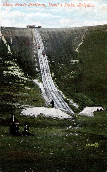
Steep Grade Railway about 1908
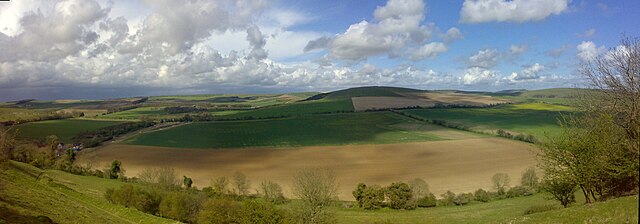
The South Downs are a range of chalk hills in the south-eastern coastal counties of England that extends for about 260 sq mi (670 km2) across the south-eastern coastal counties of England from the Itchen valley of Hampshire in the west to Beachy Head, in the Eastbourne Downland Estate, East Sussex, in the east. The Downs are bounded on the northern side by a steep escarpment, from whose crest there are extensive views northwards across the Weald. The South Downs National Park forms a much larger area than the chalk range of the South Downs, and includes large parts of the Weald.
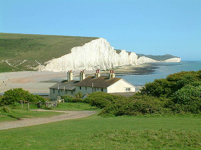
The Seven Sisters, near Eastbourne, viewed from Seaford Head
The dip slope of the South Downs, as seen from Angmering Park Estate near Arundel (panoramic view)
Plan of Cissbury fort showing shafts
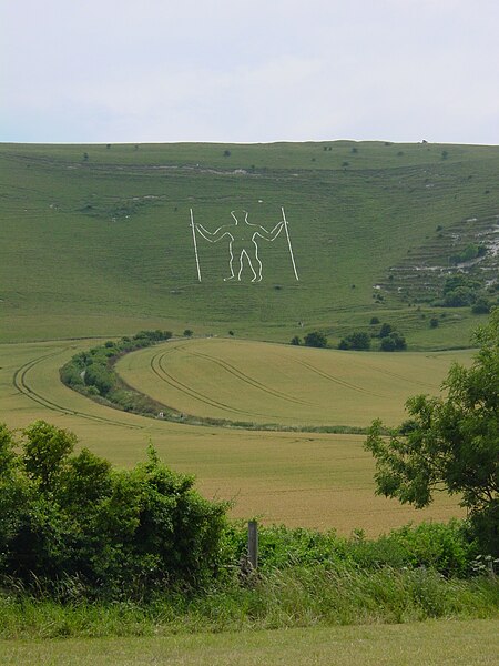
The Long Man of Wilmington, inscribed into the scarp face of the South Downs in East Sussex