Devonport, Plymouth
Videos
Page
Devonport, formerly named Plymouth Dock or just Dock, is a district of Plymouth in the English county of Devon, although it was, at one time, the more important settlement. It became a county borough in 1889. Devonport was originally one of the "Three Towns" ; these merged in 1914 to form what would become in 1928 the City of Plymouth. It is represented in the Parliament of the United Kingdom as part of the Plymouth Sutton and Devonport constituency. Its elected Member of Parliament (MP) is Luke Pollard, who is a member of the Labour Party. The population of the ward at the 2011 census was 14,788.
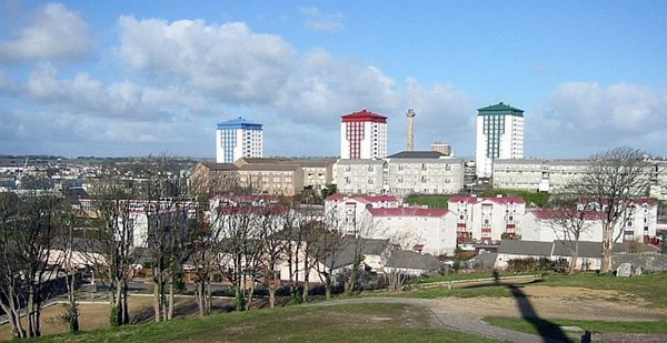
Devonport skyline
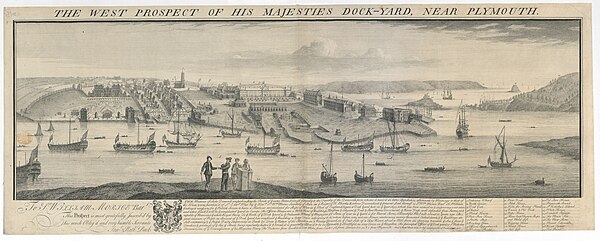
View of Plymouth Dockyard in 1736 (by Samuel and Nathaniel Buck).
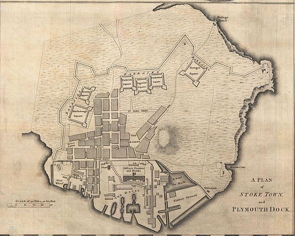
Plymouth Dock, 1765: the town is shown encompassed by the ordnance wharf and dockyard to the west, by the defensive 'lines' and square barracks to the north and east, and by Mount Wise to the south. NB North = left.
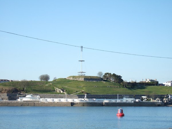
Mount Wise: the modern viewing platform and mast atop the old redoubt
Plymouth
Videos
Page
Plymouth is a port city and unitary authority in Devon, South West England. It is located on Devon's south coast between the rivers Plym and Tamar, about 36 miles (58 km) southwest of Exeter and 193 miles (311 km) southwest of London. It is the most populous city south of London.
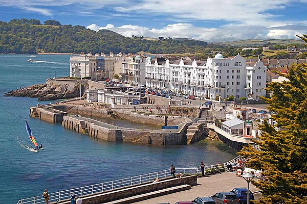
Image: Plymouthenglishcity
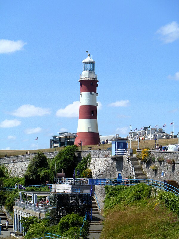
Image: Plymouth buildings 4 (geograph 7633033)

Image: Plymouth Barbican 2022
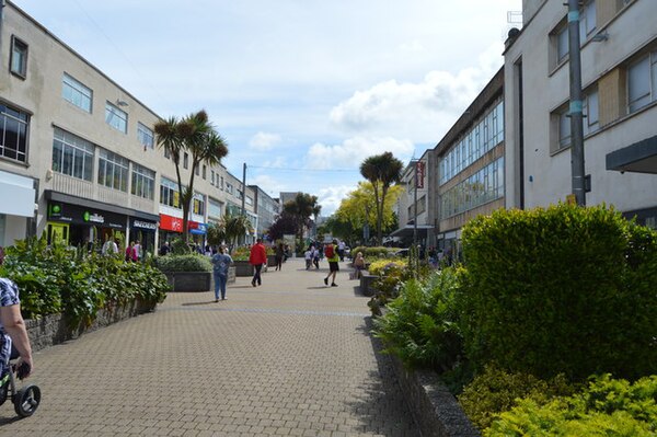
Image: New George St geograph.org.uk 5647136