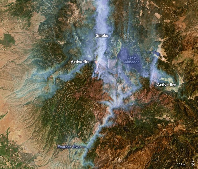
The 2021 Dixie Fire was an enormous wildfire in Butte, Plumas, Lassen, Shasta, and Tehama counties in Northern California. Named after a nearby Dixie Road, the fire began in the Feather River Canyon near Cresta Dam in Butte County on July 13, 2021, and burned 963,309 acres (389,837 ha) before it was declared 100 percent contained on October 25, 2021. It was the largest single source wildfire in recorded California history, and the second-largest wildfire overall, The fire damaged or destroyed several communities, including Greenville on August 4, Canyondam on August 5, and Warner Valley on August 12.
A pyrocumulus cloud rising from the Dixie Fire, looking east from a country road north of Chico on the evening of July 22, 2021
Dixie Fire on August 4, 2021, as seen by Landsat 7
Airtanker at Chico Municipal Airport on August 8, 2021
The Devil's Punchbowl is just above and left of the dot of the first letter i in "Dixie" at 40°01′04″N 120°48′08″W / 40.0179°N 120.8022°W / 40.0179; -120.8022
2020 California wildfires
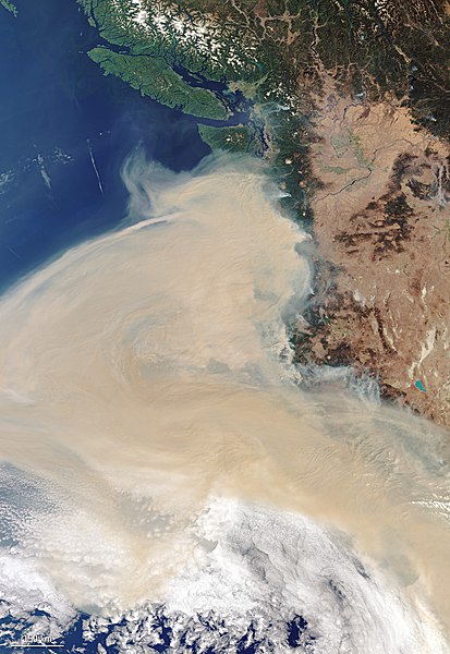
The 2020 California wildfire season, part of the 2020 Western United States wildfire season, was a record-setting year of wildfires in California. By the end of the year, 9,917 fires had burned 4,397,809 acres (1,779,730 ha), more than 4% of the state's roughly 100 million acres of land, making 2020 the largest wildfire season recorded in California's modern history, though roughly equivalent to the pre-1800 levels which averaged around 4.4 million acres yearly and up to 12 million in peak years. California's August Complex fire has been described as the first "gigafire", burning over 1 million acres across seven counties, an area larger than the state of Rhode Island. The fires destroyed over 10,000 structures and cost over $12.079 billion in damages, including over $10 billion in property damage and $2.079 billion in fire suppression costs. The intensity of the fire season has been attributed to a combination of more than a century of poor forest management and higher temperatures resulting from climate change.

Image: West coast wildfires ESA22200484
Image: Aurora Fire 2020 06 26 18.14.58.606 CDT
Image: Bobcat Fire, Los Angeles, San Gabriel Mountains
Image: North Complex smoke in San Francisco Bay Bridge and Financial District


