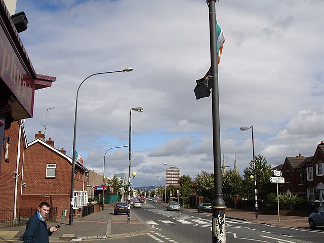
The Donegall Road is a residential area and road traffic thoroughfare that runs from Shaftesbury Square on what was once called the "Golden Mile" to the Falls Road in west Belfast. The road is bisected by the Westlink – M1 motorway. The largest section of the road, east of the Broadway junction with the Westlink, has a community which self-identifies as predominantly Protestant while the community on the other side of the Westlink – M1 motorway self-identifies as predominantly Catholic.
Belfast City Hospital
Carnegie library building, now converted to offices.
The Falls Road is the main road through West Belfast, Northern Ireland, running from Divis Street in Belfast City Centre to Andersonstown in the suburbs. The name has been synonymous for at least a century and a half with the Catholic community in the city. The road is usually referred to as the Falls Road, rather than as Falls Road. It is known in Irish as the Bóthar na bhFál and as the Faas Raa in Ulster-Scots.
Falls Road looking towards Divis flats and the city centre
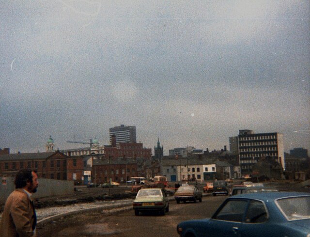
The view from the Falls Road to the city centre, 1981
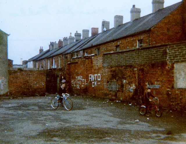
Children playing near Falls Road, Belfast, 1981
Divis Street, Belfast, May 2011