The Driffield Navigation is an 11-mile (18-kilometre) waterway, through the heart of the Holderness Plain to the market town of Driffield, East Riding of Yorkshire, England. The northern section of it is a canal, and the southern section is part of the River Hull. Construction was authorised in 1767, and it was fully open in 1770. Early use of the navigation was hampered by a small bridge at Hull Bridge, which was maintained by Beverley Corporation. After protracted negotiation, it was finally replaced in 1804, and a new lock was built to improve water levels at the same time. One curious feature of the new works were that they were managed quite separately for many years, with the original navigation called the Old Navigation, and the new works called the New Navigation. They were not fully amalgamated until 1888.
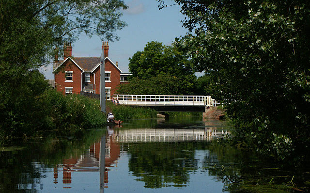
The restored swing bridge at Brigham
Driffield, also known as Great Driffield, is a market town and civil parish in the East Riding of Yorkshire, England. The civil parish is formed by the town of Driffield and the village of Little Driffield. By road, it is 53 miles (85 km) north-east of Leeds, 29 miles (47 km) east of York and 23 miles (37 km) north of Hull.
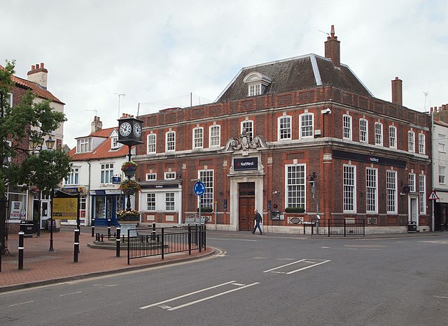
Image: Driffield YO25 geograph.org.uk 3557018
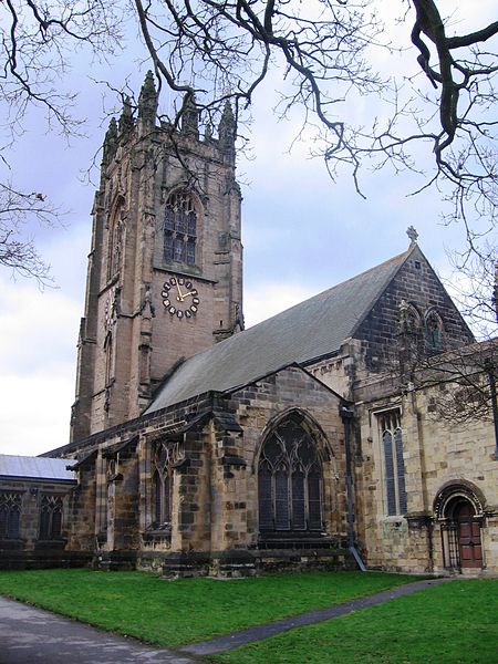
Image: All Saints Church Driffield 2
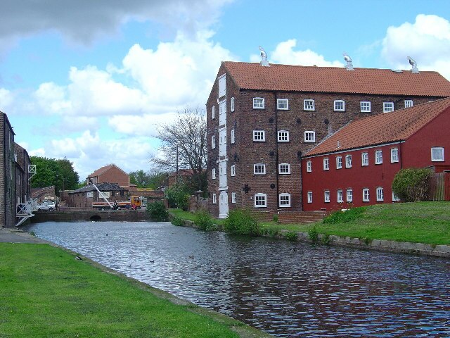
Image: Canal Head Driffield
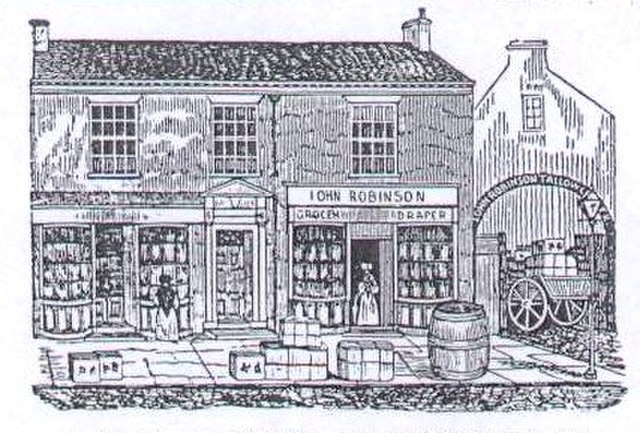
Driffield c. 1838

