Drought
Videos
Page
A drought is a period of drier-than-normal conditions. A drought can last for days, months or years. Drought often has large impacts on the ecosystems and agriculture of affected regions, and causes harm to the local economy. Annual dry seasons in the tropics significantly increase the chances of a drought developing, with subsequent increased wildfire risks. Heat waves can significantly worsen drought conditions by increasing evapotranspiration. This dries out forests and other vegetation, and increases the amount of fuel for wildfires.

Fields outside Benambra, Australia suffering from drought in 2006.

Contraction and desiccation cracks in the dry earth of the Sonoran desert, northwestern Mexico

A dry lakebed in California. In 2022, the state was experiencing its most serious drought in 1,200 years, worsened by climate change.

Global drought total economic loss risk
Ecosystem
Videos
Page
An ecosystem is a system that environments and their organisms form through their interaction. The biotic and abiotic components are linked together through nutrient cycles and energy flows.
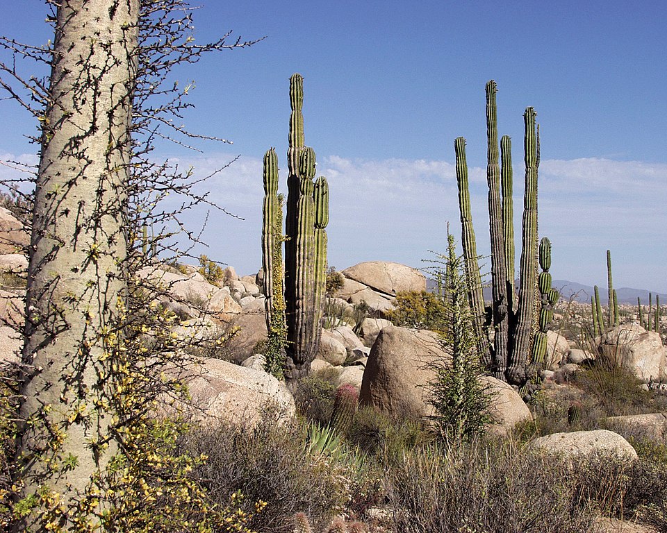
Flora of Baja California desert, Cataviña region, Mexico

Global oceanic and terrestrial phototroph abundance, from September 1997 to August 2000. As an estimate of autotroph biomass, it is only a rough indicator of primary production potential and not an actual estimate of it.

A freshwater lake in Gran Canaria, an island of the Canary Islands. Clear boundaries make lakes convenient to study using an ecosystem approach.

Biological nitrogen cycling