The Dumbarton Rail Bridge lies just to the south of the Dumbarton road bridge. Built in 1910, the rail bridge was the first structure to span San Francisco Bay, shortening the rail route between Oakland and San Francisco by 26 miles (42 km). The last freight train traveled over the bridge in 1982, and it has been proposed since 1991 to reactivate passenger train service to relieve traffic on the road bridges, though this would entail a complete replacement of the existing bridge. Part of the western timber trestle approach collapsed in a suspected arson fire in 1998.
The bridge in 2021.
the bridge in 2020
The bridge in 2003.
Dumbarton Rail Bridge in 2007 (seen from a kayak)
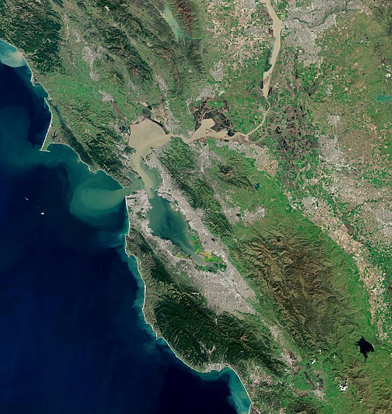
San Francisco Bay is a large tidal estuary in the U.S. state of California, and gives its name to the San Francisco Bay Area. It is dominated by the cities of San Francisco, San Jose, and Oakland.
San Francisco Bay
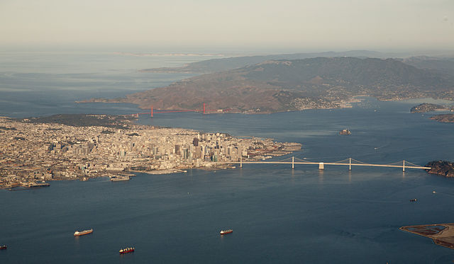
Aerial panorama of the northern Bay, the Bay Bridge, Golden Gate, and Marin Headlands on a clear morning. November 2014 photo by Doc Searls.
Panorama of San Francisco Bay, and the city skyline seen from Marin County in the Golden Gate National Recreation Area
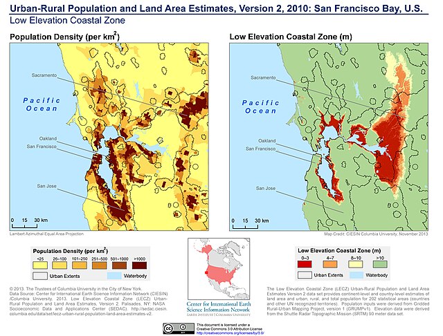
Population density and low elevation coastal zones in San Francisco Bay (2010). The San Francisco Bay is especially vulnerable to sea level rise.


