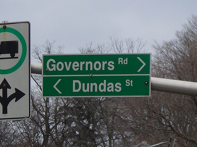
Dundas Street is a major historic arterial road in Ontario, Canada. The road connects the city of Toronto with its western suburbs and several cities in southwestern Ontario. Three provincial highways—2, 5, and 99—followed long sections of its course, although these highway segments have since been downloaded to the municipalities they passed through. Originally intended as a military route to connect the shipping port of York to the envisioned future capital of London, Ontario, the street today connects Toronto landmarks such as Yonge–Dundas Square and the city's principal Chinatown to rural villages and the regional centres of Hamilton and London.
Looking north at the corner of Yonge and Dundas, near Yonge-Dundas Square
Highway 427 northbound approaching interchange with Dundas Street, with Cloverdale Mall in the right of the background
Dundas Street in Mississauga
Dundas Street reverts to its historic alternate name in the street's namesake community; Dundas, Hamilton.
King's Highway 2, commonly referred to as Highway 2, is the lowest-numbered provincially maintained highway in the Canadian province of Ontario, and was originally part of a series of identically numbered highways which started in Windsor, stretched through Quebec and New Brunswick, and ended in Halifax, Nova Scotia. Prior to the 1990s, Highway 2 travelled through many of the major cities in Southern Ontario, including Windsor, Chatham, London, Brantford, Hamilton, Burlington, Mississauga, Toronto, Oshawa, Belleville, Kingston and Cornwall, and many other smaller towns and communities.
A former portion of Highway 2 in Lennox and Addington County cosigned as the Heritage Highway
An unremoved Highway 2 reassurance marker in Toronto
Kingston Road sign
A painting of Kingston Road east of Toronto in the 1830s.