Dunstable is a market town and civil parish in Bedfordshire, England, east of the Chiltern Hills, 30 miles north of London. There are several steep chalk escarpments, most noticeable when approaching Dunstable from the north. Dunstable is the fourth largest town in Bedfordshire and along with Houghton Regis forms the westernmost part of the Luton/Dunstable urban area.
Clock Tower and Market Cross
The Sugar Loaf coaching inn or public house, 2011.
Grove House: Town Council's headquarters
Aerial photograph of Northern Dunstable, showing the Luton to Dunstable Busway and the A5 road
Bedfordshire is a ceremonial county in the East of England. It is bordered by Northamptonshire to the north, Cambridgeshire to the north-east, Hertfordshire to the south and the south-east, and Buckinghamshire to the west. The largest settlement is Luton (225,262), and Bedford is the county town.
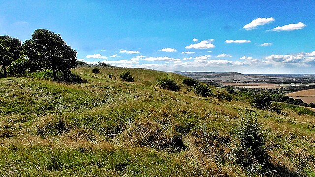
Image: Five Knolls Barrow Cemetery View, Dunstable, Bedfordshire View 1
Image: Riverside Bridge at Bedford (geograph 5547742)
Image: Wrest Park Bedfordshire, England DSC08317
Luton Hoo