Dust storm
Videos
A dust storm, also called a sandstorm, is a meteorological phenomenon common in arid and semi-arid regions. Dust storms arise when a gust front or other strong wind blows loose sand and dirt from a dry surface. Fine particles are transported by saltation and suspension, a process that moves soil from one place and deposits it in another.
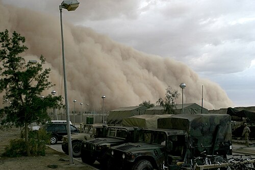
A sandstorm approaching Al Asad April 27, 2005.

An aerial view of a sandstorm over the Namib Desert
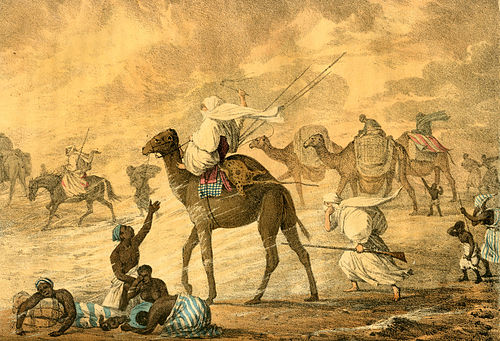
Dust storm in Sahara, painted by George Francis Lyon

Sydney shrouded in dust during the 2009 Australian dust storm.
Sand
Videos
Sand is a granular material composed of finely divided mineral particles. Sand has various compositions but is defined by its grain size. Sand grains are smaller than gravel and coarser than silt. Sand can also refer to a textural class of soil or soil type; i.e., a soil containing more than 85 percent sand-sized particles by mass.

Sand dunes in the Idehan Ubari, Libya

Depiction of sands: glass, dune, quartz, volcanic, biogenic coral, pink coral, volcanic, garnet, olivine. Samples are from the Gobi Desert, Estonia, Hawaii and the mainland United States. (1×1 cm each)

Heavy minerals (dark) in a quartz beach sand (Chennai, India)

Sand from Coral Pink Sand Dunes State Park, Utah. These are grains of quartz with a hematite coating providing the orange color.