E. C. Manning Provincial Park
E.C. Manning Provincial Park is a provincial park in British Columbia, Canada. It is usually referred to as Manning Park, although that nomenclature is also used to refer to the resort and ski area at the park's core. The park covers 83,671 hectares and was the second most visited provincial park in 2017-18 after Cypress Provincial Park. The park lies along British Columbia Highway 3, and occupies a large amount of land between Hope and Princeton along the Canada-United States border.
Hiking the sub-alpine meadows in Manning Park.
Hozameen Range from Snow Camp Mountain in E.C. Manning Provincial Park
The main lodge building at Manning Park Resort
The free shuttle between the ski hill and the hotel, sporting the logo of Manning Park Resort as used until 2019.
British Columbia Highway 3
British Columbia Highway 3, officially named the Crowsnest Highway, is an 841-kilometre (523 mi) highway that traverses southern British Columbia, Canada. It runs from the Trans-Canada Highway (Highway 1) at Hope to Crowsnest Pass at the Alberta border and forms the western portion of the interprovincial Crowsnest Highway that runs from Hope to Medicine Hat, Alberta. The highway is considered a Core Route of the National Highway System.
The peak of Allison Pass.
Through the Similkameen Valley westwards into the mountains
Crossing the Rock Creek Canyon Bridge between Osoyoos and Rock Creek.
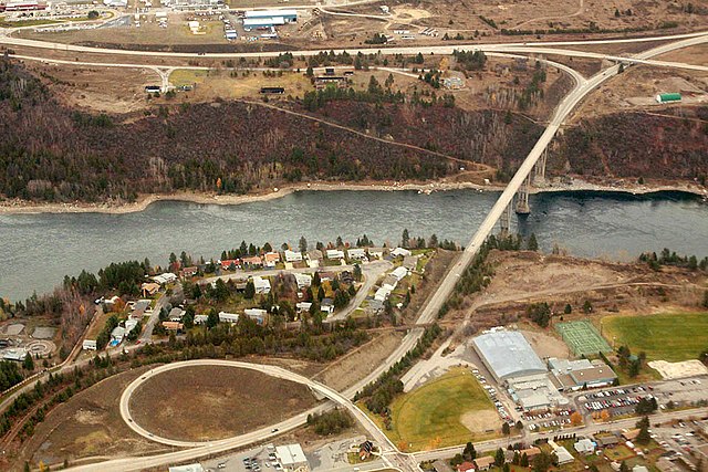
The Kinnard Bridge crossing the Columbia River in Castlegar.