The East–West Corridor is the built-up area of north Trinidad stretching from the capital, Port of Spain, 24 kilometres (15 mi) east to Arima. The term was coined by economist and political philosopher Lloyd Best, after gleaning the works of a technocrat named Lynette Attwell. The Corridor includes such towns as Laventille, Morvant, Barataria, San Juan, St. Joseph, Champs Fleurs, Curepe, St. Augustine, Valsayn, Tunapuna, Macoya, Trincity, Tacarigua, Arouca, D'Abadie, and El Dorado. For the most part it runs along the Eastern Main Road, between the Churchill–Roosevelt Highway and the foothills of the Northern Range. It is a densely populated and fairly congested strip of development along some of the best agricultural soils in the country.
Looking west over the corridor.
From front to back: Tunapuna, El Dorado, Tacarigua.
Trinidad and Tobago, officially the Republic of Trinidad and Tobago, is the southernmost island country in the Caribbean. Consisting of the main islands Trinidad and Tobago and numerous much smaller islands, it is situated 11 kilometres off the coast of northeastern Venezuela and 130 kilometres south of Grenada. It shares maritime boundaries with Barbados to the east, Grenada to the northwest and Venezuela to the south and west. Trinidad and Tobago is generally considered to be part of the West Indies. The island country's capital is Port of Spain, while its largest and most populous municipality is Chaguanas.
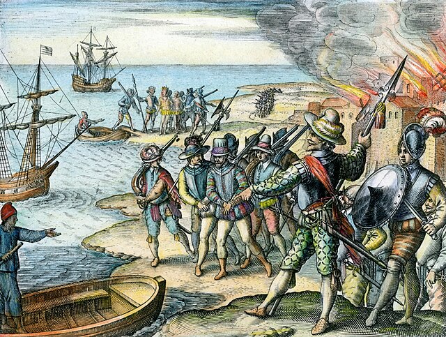
Sir Walter Raleigh raiding Spanish settlement in Trinidad in 1595
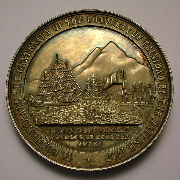
A medallion showing the capture of Trinidad and Tobago by the British in 1797.
Newly arrived indentured Indian labourers in Trinidad and Tobago.
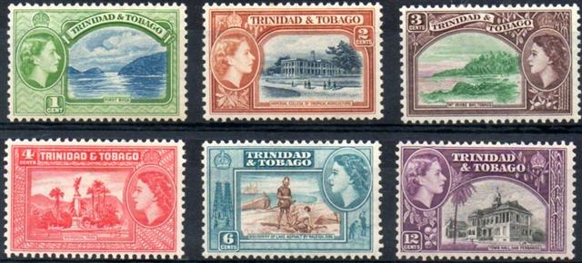
The Queen on 1953 stamps of Trinidad and Tobago