East Coker
Videos
Page
East Coker is a village and civil parish in the South Somerset district of Somerset, England. Its nearest town is Yeovil, two miles (3.2 km) to the north. The village has a population of 1,667. The parish includes the hamlets and areas of North Coker, Burton, Holywell, Coker Marsh, Darvole, Nash, Keyford as well as the southern end of the Wraxhill area.

St Michael and All Angels' Church, East Coker

Millennium Stone, East Coker

The East Coker Mosaic on display at the Museum of Somerset

Lychgate East Coker Cemetery
South Somerset
Videos
Page
South Somerset was a local government district in Somerset, England, from 1974 to 2023. The district covered an area of 370 square miles (958 km2) ranging from the borders with Devon, Wiltshire and Dorset to the edge of the Somerset Levels. It had a population of approximately 158,000. The administrative centre of the district was Yeovil.
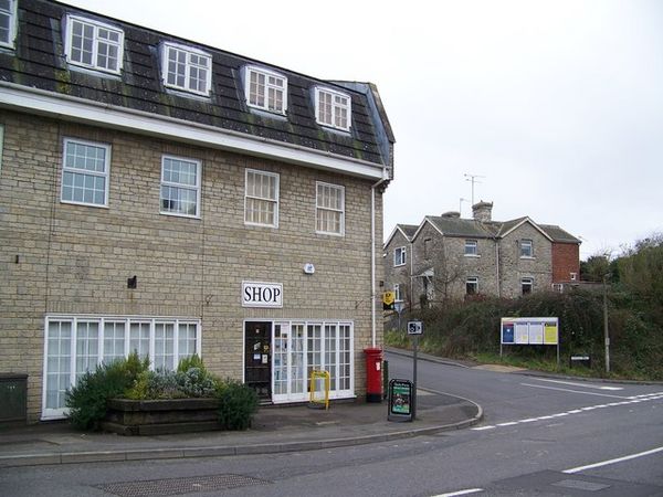
Image: Templecombe in 2008
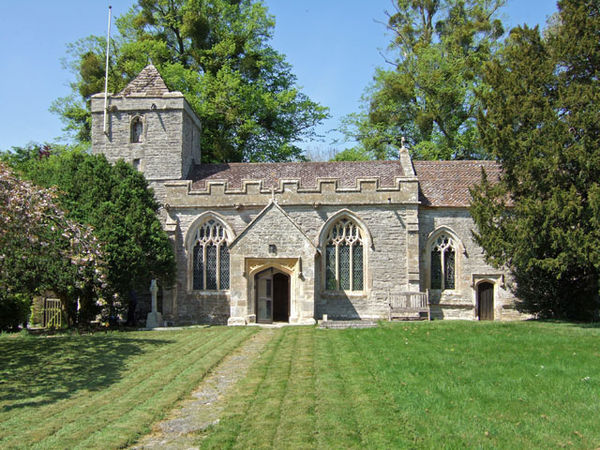
Image: Alford church

Image: Old Pound Inn, Aller, Somerset

Image: Ansford from Ditcheat Hill geograph.org.uk 454856