Eastern Province is one of Zambia's ten provinces. The province lies between the Luangwa River and borders with Malawi to the east and Mozambique to the south, from Isoka in the northeast to the north of Luangwa in the south. The provincial capital is Chipata. Eastern province has an area of 51,476 km2 (19,875 sq mi), locally shares border with three other provinces of the country and is divided into fifteen districts.
View of Chipata, the largest city in the province
Elephants in South Luangwa National Park
Zambia, officially the Republic of Zambia, is a landlocked country at the crossroads of Central, Southern and East Africa. It is typically referred to being in South-Central Africa or Southern Africa. It is bordered to the north by the Democratic Republic of the Congo, Tanzania to the north-east, Malawi to the east, Mozambique to the southeast, Zimbabwe and Botswana to the south, Namibia to the southwest, and Angola to the west. The capital city of Zambia is Lusaka, located in the south-central part of Zambia. The population is concentrated mainly around Lusaka in the south and the Copperbelt Province to the north, the core economic hubs of the country.
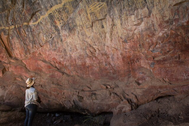
Ancient (but graffitied) Rock Art in Nsalu Cave, Kasanka National Park in North-Central Zambia.
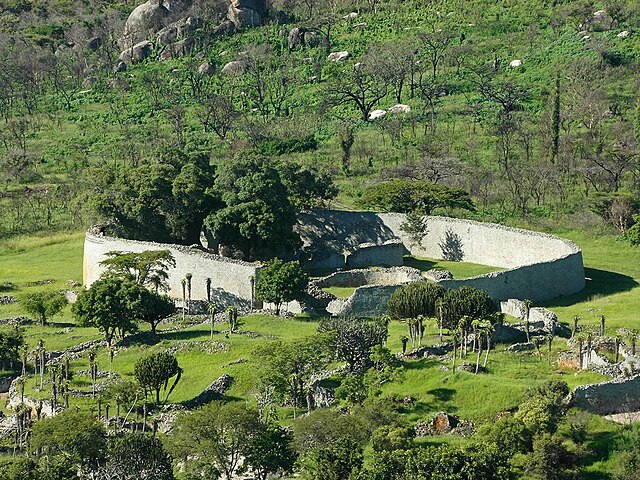
Ruins of Great Zimbabwe. Kalanga/Shona rulers of this kingdom dominated trade at Ingombe Ilede.
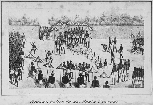
Drawing of the ruler of Lunda, Mwata Kazembe, receiving Portuguese in the royal courtyard in the 1800s
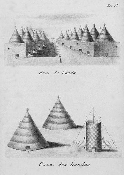
A drawing of Lunda houses by a Portuguese visitor. The size of the doorways relative to the building emphasizes the scale of the buildings.