Ebbw Vale is a town at the head of the valley formed by the Ebbw Fawr tributary of the Ebbw River in Wales. It is the largest town and the administrative centre of Blaenau Gwent county borough. The Ebbw Vale and Brynmawr conurbation has a population of roughly 33,000. It has direct access to the dualled A465 Heads of the Valleys trunk road and borders the Brecon Beacons National Park.
Looking north over Ebbw Vale from Hilltop
Ebbw Vale Steelworks in 1969, by this time under the control of British Steel Corporation
Ebbw Vale town centre
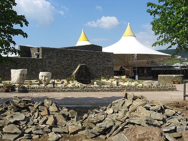
Entrance to Festival Park shopping outlet
Blaenau Gwent is a county borough in the south-east of Wales. It borders the unitary authority areas of Monmouthshire and Torfaen to the east, Caerphilly to the west and Powys to the north. Its main towns are Abertillery, Brynmawr, Ebbw Vale and Tredegar. Its highest point is Coity Mountain at 1,896 feet (578 m).
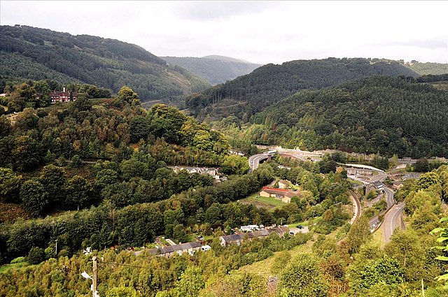
Image: View from Brynithel looking down on Aberbeeg geograph.org.uk 2080181
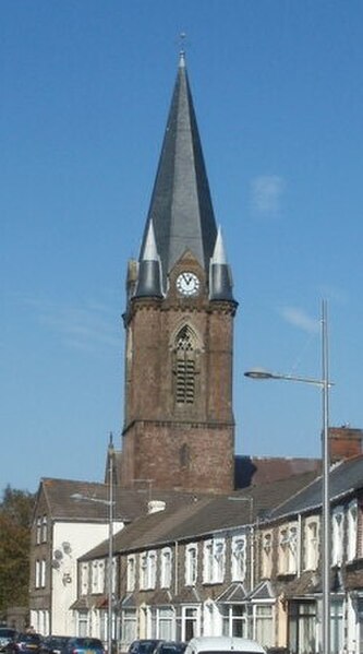
Image: Grade II listed Christ Church, Ebbw Vale geograph.org.uk 2625486 (cropped)
Image: Sirhowy Ironworks, Dukestown, Tredegar geograph.org.uk 2943096