Edale is a village and civil parish in the Peak District, Derbyshire, England, whose population was 353 at the 2011 Census. Edale, with an
area of 7,030 acres (2,840 ha),
is in the Borough of High Peak.
Holy Trinity parish church
Grindsbrook Booth, Edale
The Old Nags Head pub
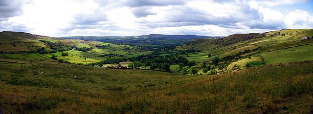
Vale of Edale
The Peak District is an upland area in England, at the southern end of the Pennines. Mostly in Derbyshire, it extends into Cheshire, Greater Manchester, Staffordshire, West Yorkshire and South Yorkshire. It is subdivided into the Dark Peak, moorland dominated by gritstone, and the White Peak, a limestone area with valleys and gorges. The Dark Peak forms an arc on the north, east and west of the district, and the White Peak covers central and southern areas. The highest point is Kinder Scout. Most of the area is within the Peak District National Park, a protected landscape designated in 1951.
A view of Mam Tor
A High Peak panorama between Hayfield and Chinley
The Bugsworth Basin on the Peak Forest Canal
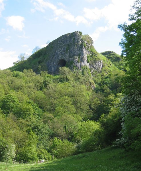
Thor's Cave seen from the Manifold Way