El Abra is the name given to an extensive archeological site, located in the valley of the same name. El Abra is situated in the east of the municipality Zipaquirá extending to the westernmost part of Tocancipá in the department of Cundinamarca, Colombia. The several hundred metres long series of rock shelters is in the north of the Bogotá savanna on the Altiplano Cundiboyacense, Eastern Ranges of the Colombian Andes at an altitude of 2,570 metres (8,430 ft). The rock shelter and cave system is one of the first evidences of human settlement in the Americas, dated at 12,400 ± 160 years BP. The site was used by the hunter-gatherers of the Late Pleistocene epoch.
Petroglyph of El Abra
Hacienda El Abra
Rock formation of El Abra
Climbing at El Abra
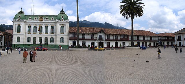
Zipaquirá is a municipality and city of Colombia in the department of Cundinamarca. Its neighboring municipalities are Cogua and Nemocón to the north; Tocancipá to the east; Tabio, Cajicá and Sopó to the south; and Subachoque and Pacho to the west. Its seat of municipal government is 49 kilometers from the national capital Bogotá. It is part of the Greater Bogotá Metropolitan Area, and is the capital of the Sabana Centro province. It is also the headquarters of the diocese of the same name and that includes much of the Department of Cundinamarca, extending to the centre of Bogotá, the region of Rionegro, the Ubaté Valley, and the region of Guavio.
Central square of Zipaquirá
Main square of Zipaquirá
Typical street of Zipaquirá
Panorama of Zipaquirá