El Camino Real de los Tejas National Historic Trail
The El Camino Real de los Tejas National Historic Trail is a national historic trail covering the U.S. section of El Camino Real de Los Tejas, a thoroughfare from the 18th-century Spanish colonial era in Spanish Texas, instrumental in the settlement, development, and history of Texas. The National Park Service designated El Camino Real de los Tejas National Historic Trail as a unit in the National Trails System in 2004.
El Camino Real marker in Cotulla in La Salle County in South Texas
The National Trails System is a series of trails in the United States designated "to promote the preservation of, public access to, travel within, and enjoyment and appreciation of the open-air, outdoor areas and historic resources of the Nation". There are four types of trails: the national scenic trails, national historic trails, national recreation trails, and connecting or side trails. The national trails provide opportunities for hiking and historic education, as well as horseback riding, biking, camping, scenic driving, water sports, and other activities. The National Trails System consists of 11 national scenic trails, 21 national historic trails, over 1,300 national recreation trails, and seven connecting and side trails, as well as one national geologic trail, with a total length of more than 91,000 mi (150,000 km). The scenic and historic trails are in every state, and Virginia and Wyoming have the most running through them, with six.
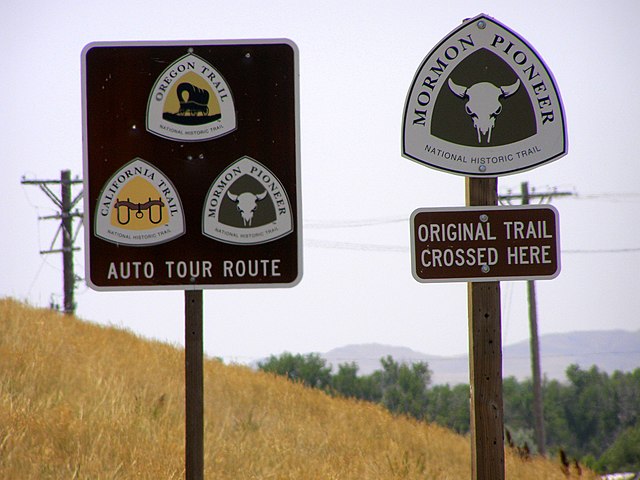
Each national scenic and historic trail has a rounded triangle logo used to mark its route and significant points.
Image: Appalachian Trail Totts Gap to Mount Minsi (20) (10355280153)
Image: Montezuma Pass Overlook, elevation 2100 meters panoramio
Image: Highline Trail 2017 09


