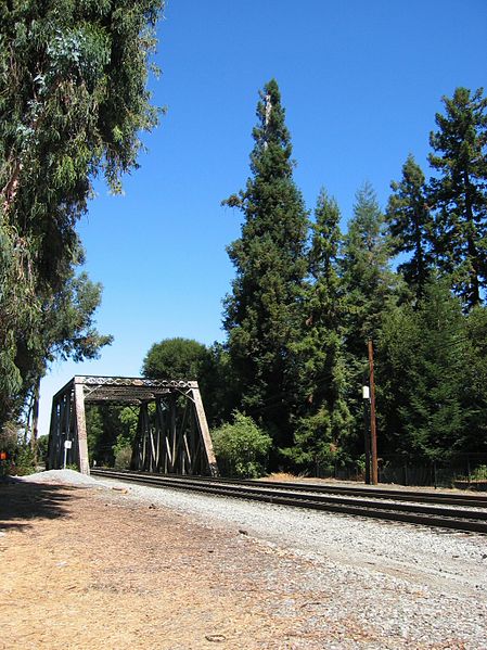
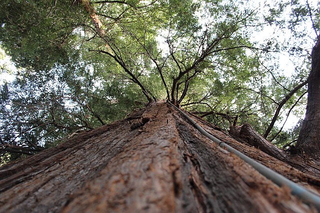
El Palo Alto is a coast redwood located on the banks of the San Francisquito Creek in Palo Alto, California, a city in the San Francisco Bay Area. The namesake of the city and a historical landmark, El Palo Alto is 1083–1084 years old and stands 110 feet (34 m) tall.
El Palo Alto, circa 2004
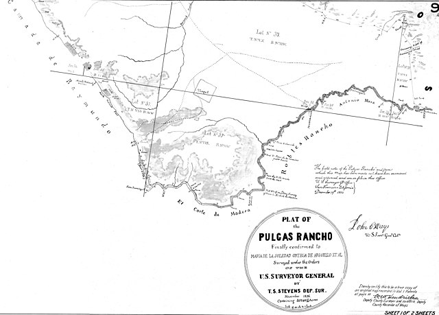
November 1856 land survey of Rancho de las Pulgas—bounded below by San Francisquito Creek—indicating the "Palo Alto Redwoods" (above "Robles Rancho")
In the 1870s, by Carleton Watkins; the tree's earliest known photograph. The left trunk would fall.
Irrigation system for El Palo Alto
San Francisquito Creek is a creek that flows into southwest San Francisco Bay in California, United States. Historically it was called the Arroyo de San Francisco by Juan Bautista de Anza in 1776. San Francisquito Creek courses through the towns of Portola Valley and Woodside, as well as the cities of Menlo Park, Palo Alto, and East Palo Alto. The creek and its Los Trancos Creek tributary define the boundary between San Mateo and Santa Clara counties.
El Palo Alto and the San Francisquito Creek c. 1910
Stanford removed the Lagunita Diversion Dam and Fish Ladder on San Francisquito Creek, near Happy Hollow Lane in Menlo Park, in late 2018, improving access for salmonid spawning runs up Los Trancos Creek and also up Corte Madera Creek to Searsville Dam
USGS Stream Gage Weir may be a partial barrier to trout and salmon spawning runs up the San Francisquito Creek mainstem
Pair of gray foxes (Urocyon cinereoargenteus), the only tree-climbing canid in the Americas, den and forage for rodents, grasshoppers and berries near the mouth of Matadero Creek in the Palo Alto Baylands


