Eldoret
Videos
Page
Eldoret is the fifth largest city in Kenya. In the Rift Valley region, it serves as the capital of Uasin Gishu County. The town was referred to by white settlers as Farm 64 and colloquially by locals as 'Sisibo'. As per the 2019 Kenya Population and Housing Census, Eldoret is the fifth most populated urban area in the country after Nairobi, Mombasa, Nakuru and Ruiru. Lying south of the Cherangani Hills, the local elevation varies from about 2,100 metres (6,900 ft) at the airport to more than 2,700 metres (8,900 ft) in nearby areas. The population was 289,380 in the 2009 Census, and it was the fastest growing city in Kenya with 475,716 people according to 2019 National Census. Eldoret was on course to be named Kenya's fourth city, but was edged out by Nakuru in 2021.
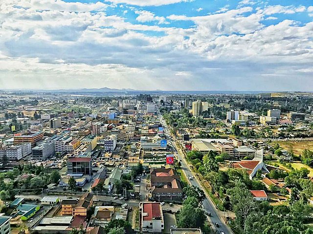
Skyline of Eldoret, facing west from atop Eldoret Daima Towers

Kenya's first president, Jomo Kenyatta, opens the Eldoret Agricultural Show in 1968.
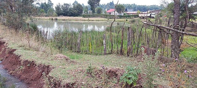
A swamp in Eldoret
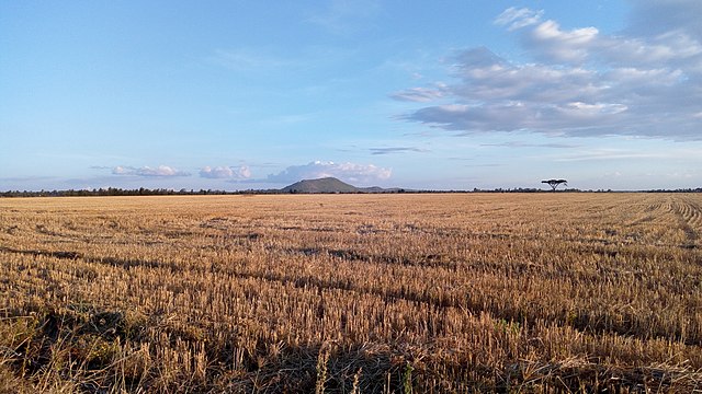
Large wheat plantation near Eldoret. Sergoit hill seen in the background
Great Rift Valley, Kenya
Videos
Page
The Great Rift Valley is part of an intra-continental ridge system that runs through Kenya from north to south. It is part of the Gregory Rift, the eastern branch of the East African Rift, which starts in Tanzania to the south and continues northward into Ethiopia. It was formed on the "Kenyan Dome" a geographical upwelling created by the interactions of three major tectonics: the Arabian, Nubian, and Somalian plates. In the past, it was seen as part of a "Great Rift Valley" that ran from Madagascar to Syria. Most of the valley falls within the former Rift Valley Province.
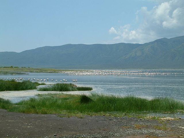
Lake Bogoria, one of the main lakes in the Great Rift Valley.
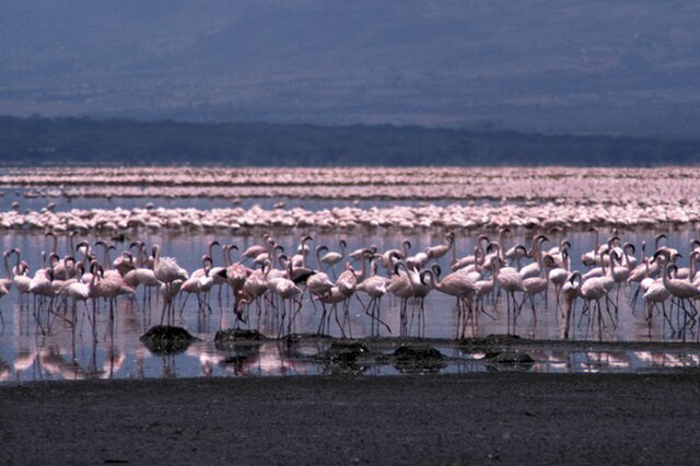
Lake Bogoria

Mount Longonot
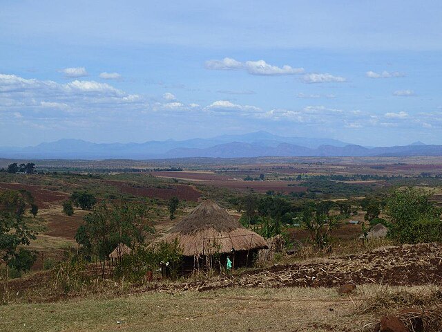
View of Uganda from Cherubei Village, Kenya