Eleuthera refers both to a single island in the archipelagic state of The Commonwealth of the Bahamas and to its associated group of smaller islands. Eleuthera forms a part of the Great Bahama Bank. The island of Eleuthera incorporates the smaller Harbour Island. "Eleuthera" derives from the feminine form of the Greek adjective ἐλεύθερος (eleútheros), meaning "free". Known in the 17th century as Cigateo, it lies 80 km east of Nassau. It is long and thin—180 km long and in places little more than 1.6 km wide. At its narrowest point, the Glass Window Bridge, which has been called the narrowest place on earth, Eleuthera stands 30 feet wide. Its eastern side faces the Atlantic Ocean, and its western side faces the Great Bahama Bank. The topography of the island varies from wide rolling pink sand beaches to large outcrops of ancient coral reefs, and its population is approximately 11,000. The principal economy of the island is tourism.

NASA satellite image, showing New Providence Island to the west, and east of it, the long, narrow island of Eleuthera running north and south (along with its associated Harbour and other small islands), as seen from space in 1997.
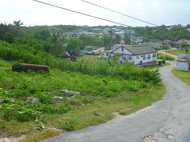
Gregory Town, Eleuthera in December 2012.
Eleuthera Island is one of several within the archipelago surrounded by shallow seas, visible here as light blue. Mosaic patterns of sand waves built by sea bottom currents in the shallows stand out in stark contrast to the deep blue of the ocean depths of a thousand feet in the Exuma Sound.
Beach scene at Current Island, Eleuthera
The Bahamas, officially the Commonwealth of The Bahamas, is a country in North America. It is an island country within the Lucayan Archipelago of the West Indies in the Atlantic Ocean. It contains 97% of the Lucayan Archipelago's land area and 88% of its population. The archipelagic state consists of more than 3,000 islands, cays, and islets in the Atlantic Ocean, and is located north of Cuba and northwest of the island of Hispaniola and the Turks and Caicos Islands, southeast of the U.S. state of Florida, and east of the Florida Keys. The capital is Nassau on the island of New Providence. The Royal Bahamas Defence Force describes The Bahamas' territory as encompassing 470,000 km2 (180,000 sq mi) of ocean space.
A depiction of Columbus' first landing, claiming possession of the New World for the Crown of Castile in caravels; the Niña and the Pinta, on Watling Island, an island of the Bahamas that the natives called Guanahani and that he named San Salvador, on 12 October 1492.
Continental Marines land at New Providence during the Battle of Nassau in 1776
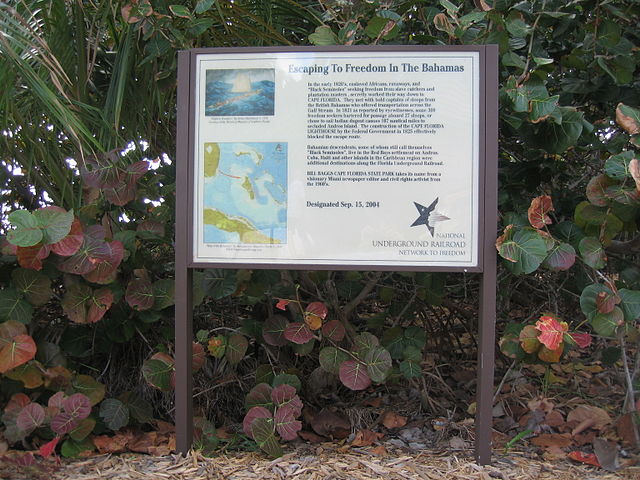
Sign at Bill Baggs Cape Florida State Park commemorating hundreds of African-American slaves who escaped to freedom in the early 1820s in The Bahamas
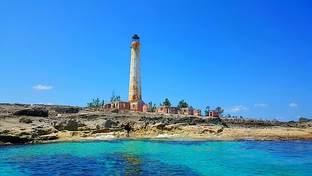
The lighthouse in Great Isaac Cay.


