Energy in Victoria, Australia is generated using a number of fuels or technologies, including coal, natural gas and renewable energy sources. Brown coal, historically, was the main primary energy source for the generation of electricity in the state, accounting for about 85% of electricity generation in 2008. The amount of coal-fired power has decreased significantly with the closure in 2017 of the Hazelwood power station which supplied around 20% of Victoria's electricity, and to a lesser extent with the exit of Anglesea power station in 2015. Brown coal is one of the largest contributors to Australia's total domestic greenhouse gas emissions and a source of controversy for the country. Australia is one of the highest polluters of greenhouse gas per capita in the world.
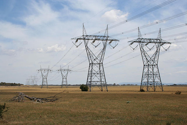
500 kilovolt transmission lines to the north of Melbourne
Yallourn W Power Station viewed from the south
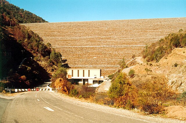
Dartmouth Dam wall and power station
Windfarm outside Port Fairy
The Latrobe Valley is an inland geographical district and urban area of the Gippsland region in the state of Victoria, Australia. The traditional owners are the Brayakaulung of the Gunai nation. The district lies east of Melbourne and nestled between the Strzelecki Ranges to the south and the Baw Baw Ranges, part of the Great Dividing Range, to the north. Mount St Phillack is the highest peak to the north of the Latrobe Valley, due north of Moe. The highest peak to the south is Mt Tassie, south of Traralgon.
A view of part of the Latrobe Valley, from Tyers lookout, 2013.
Approximate Latrobe Valley area, comprising the Baw Baw Shire and City of Latrobe local government areas.
Yallourn W Power Station.