Erith is an area in south-east London, England, 13.3 miles (21.4 km) east of Charing Cross. Before the creation of Greater London in 1965, it was in the historical county of Kent. Since 1965 it has formed part of the London Borough of Bexley. It lies north-east of Bexleyheath and north-west of Dartford, on the south bank of the River Thames.
William Cory Promenade along the River Thames frontage and Riverside Gardens
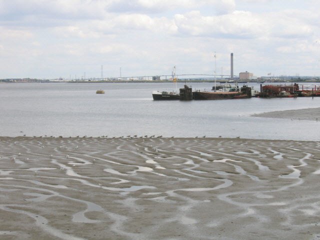
Mudflats on the Thames, with the Queen Elizabeth II Bridge in the far background
The medieval Church of John the Baptist in Erith
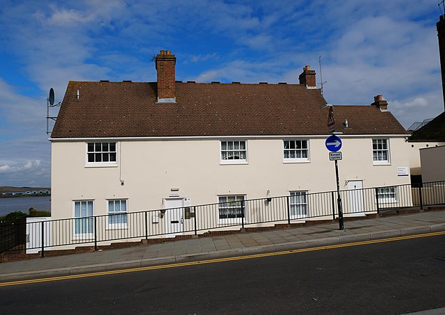
28 and 30 Erith High Street, a building with eighteenth-century origins in Erith.
The London Borough of Bexley is a London borough in south-east London, forming part of Outer London. It has a population of 248,287. The main settlements are Sidcup, Erith, Bexleyheath, Crayford, Welling and Old Bexley. The London Borough of Bexley is within the Thames Gateway, an area designated as a national priority for urban regeneration. The local authority is Bexley London Borough Council.
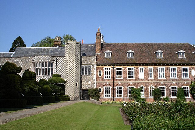
Hall Place, with 16th- (left) and 17th-century wings.
The distinctive spire of the ancient parish church of St Mary the Virgin in Bexley
Bexley Civic Offices