Erris is a barony in northwestern County Mayo in Ireland consisting of over 230,452 acres (932.61 km2), much of which is mountainous blanket bog. It has extensive sea coasts along its west and north boundaries. The main towns are Belmullet and Bangor Erris. The name Erris derives from the Irish 'Iar Ros' meaning 'western promontory'. The full name is the Iorrais Domnann, after the Fir Bolg tribe, the Fir Domnann. To its north is the wild Atlantic Ocean and the bays of Broadhaven and Sruth Fada Conn and to its west is Blacksod Bay. Its main promontories are the Doohoma Peninsula, Mullet Peninsula, Erris Head, the Dún Chiortáin and Dún Chaocháin peninsulas and Benwee Head.
The Stags of Broadhaven Bay with Benwee Head in the foreground
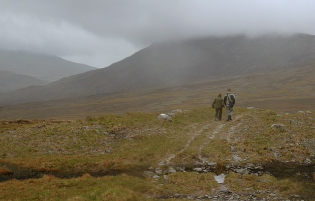
Bangor Way way-marked walking trail
Dolphins in Sruwaddacon Bay August 2010
View across Erris blanket bog southwards from Carrowmore Lake
County Mayo is a county in Ireland. In the West of Ireland, in the province of Connacht, it is named after the village of Mayo, now generally known as Mayo Abbey. Mayo County Council is the local authority. The population was 137,231 at the 2022 census. The boundaries of the county, which was formed in 1585, reflect the Mac William Íochtar lordship at that time.
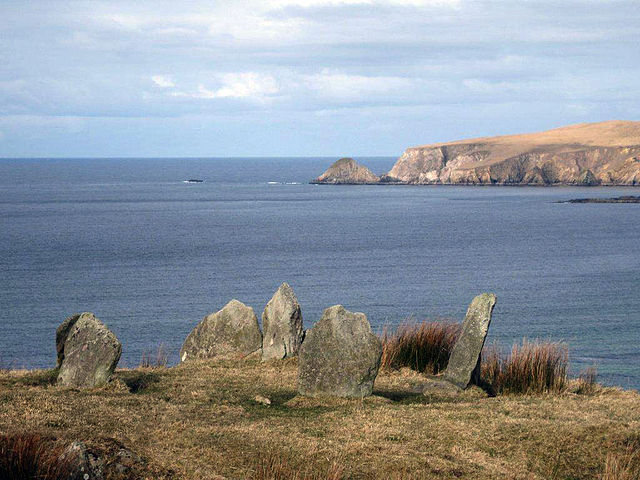
Glengad stone circle, Kilcommon, Erris
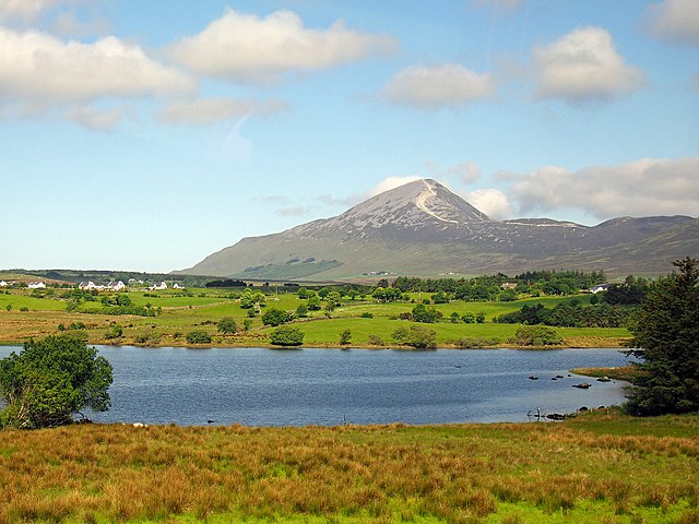
Croagh Patrick
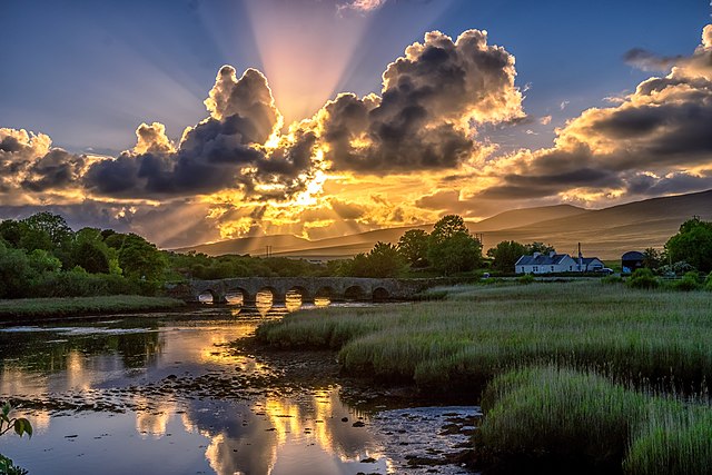
Burrishoole Bridge
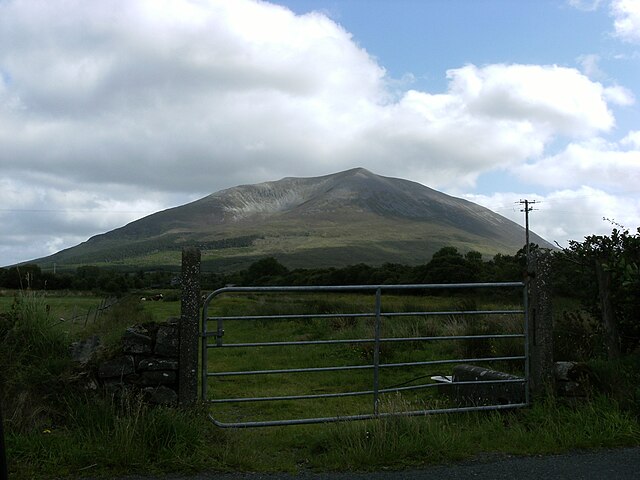
Nephin, found in central Mayo, is the largest freestanding mountain on the island of Ireland


