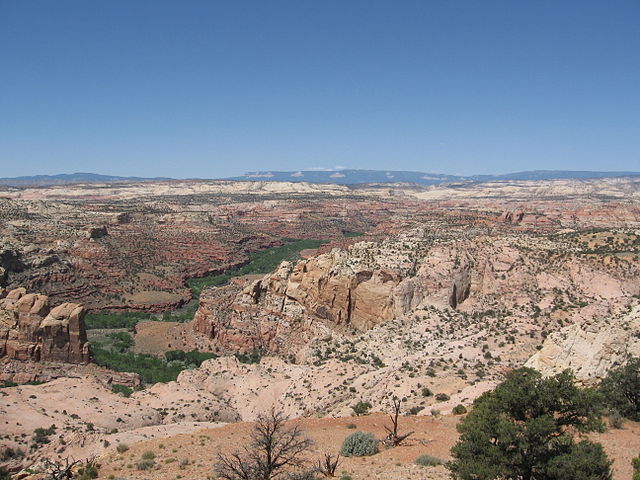
The Escalante River is a tributary of the Colorado River. It is formed by the confluence of Upper Valley and Birch Creeks near the town of Escalante in south-central Utah, and from there flows southeast for approximately 90 mi (140 km) before joining Lake Powell. Its watershed includes the high forested slopes of the Aquarius Plateau, the east slope of the Kaiparowits Plateau, and the high desert north of Lake Powell. It was the last river of its size to be discovered in the 48 contiguous U.S. states.
The average discharge is approximately 146 cfs.
View of part of the Escalante River, taken on July 4, 2022 from the International Space Station
Hiker crossing the Escalante during spring floods in 2005.
Escalante River gorge upstream from its confluence with Boulder Creek. The Aquarius Plateau is visible on the skyline.
The Escalante River near Escalante, Utah
Escalante is a city in central Garfield County, Utah, United States, located along Utah Scenic Byway 12 (SR-12) in the south-central part of the state. As of the 2020 census, 786 people were living in the city.
Escalante and the Straight Cliffs from the north
Brick house on Main Street
Straight Cliffs of the Grand Staircase–Escalante National Monument from Escalante
Image: A417, Escalante, Utah, USA, Utah State Route 12, Main Street at Center Street, looking west, 2016


