European exploration of Africa
Videos
Photos
The geography of North Africa has been reasonably well known among Europeans since classical antiquity in Greco-Roman geography. Northwest Africa was known as either Libya or Africa, while Egypt was considered part of Asia.
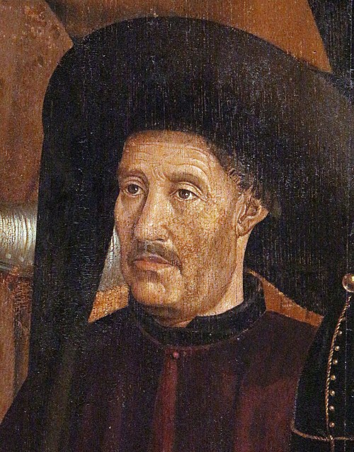
Prince Henry of Portugal in 15th century triptych of St. Vincent, by Nuno Gonçalves

17th-century crucifix, copper alloy, the Democratic Republic of the Congo

Routes of European explorers in Africa to 1853

Heinrich Barth approaching Timbuktu in 1853
Africa
Videos
Photos
Africa is the world's second largest and second-most populous continent after Asia. At about 30.3 million km2 including adjacent islands, it covers 20% of Earth's land area and 6% of its total surface area. With 1.4 billion people as of 2021, it accounts for about 18% of the world's human population. Africa's population is the youngest amongst all the continents; the median age in 2012 was 19.7, when the worldwide median age was 30.4. Despite a wide range of natural resources, Africa is the least wealthy continent per capita and second-least wealthy by total wealth, ahead of Oceania. Scholars have attributed this to different factors including geography, climate, tribalism, colonialism, the Cold War, neocolonialism, lack of democracy, and corruption. Despite this low concentration of wealth, recent economic expansion and the large and young population make Africa an important economic market in the broader global context.

The totality of Africa seen by the Apollo 17 crew

Lucy, an Australopithecus afarensis skeleton discovered in 1974 in the Awash Valley of Ethiopia's Afar Triangle

Saharan rock art in the Fezzan, Libya

Colossal statues of Ramesses II at Abu Simbel, Egypt, date from around 1250 BC.