Faversham
Videos
Photos
Faversham is a market town in Kent, England, 8 miles (13 km) from Sittingbourne, 48 miles (77 km) from London and 10 miles (16 km) from Canterbury, next to the Swale, a strip of sea separating mainland Kent from the Isle of Sheppey in the Thames Estuary. It is close to the A2, which follows an ancient British trackway which was used by the Romans and the Anglo-Saxons, and known as Watling Street. The name is of Old English origin, meaning "the metal-worker's village".

Faversham Guildhall and Market

Faversham Abbey, sketched by William Stukeley in 1722, was established by King Stephen in 1148. He was buried there in 1154.

Abbey Street, which includes many historic houses, was saved from demolition in the 1950s.

The Maison Dieu sits to the south of the town centre on the A2 and houses artefacts from Roman Britain.
Kent
Videos
Photos
Kent is a county in the South East England region, the closest county to continental Europe. It borders Essex across the entire estuary of the River Thames to the north; the French department of Pas-de-Calais across the Strait of Dover to the south-east; East Sussex to the south-west; Surrey to the west and Greater London to the north-west. The county town is Maidstone.

Image: White Cliffs of Dover, Kent
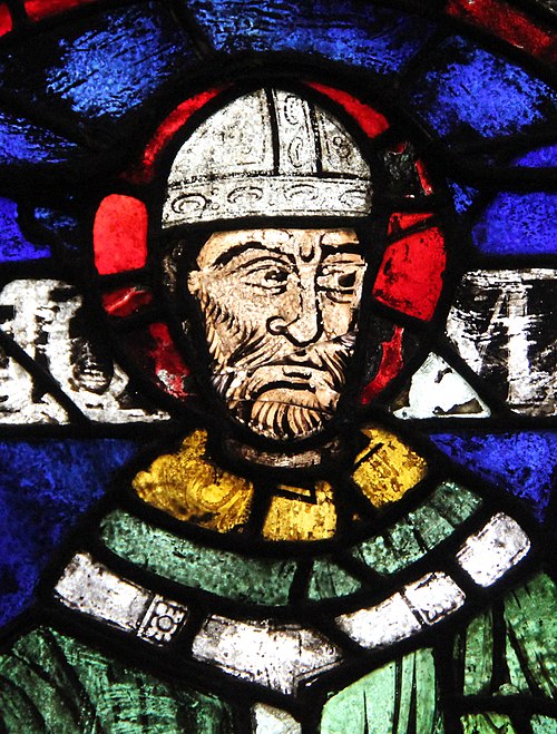
Image: Saint Thomas Becket (Samuel Caldwell, 1919) crop

An early mention of Kent in the Anglo-Saxon Chronicle between 11th and 12th centuries
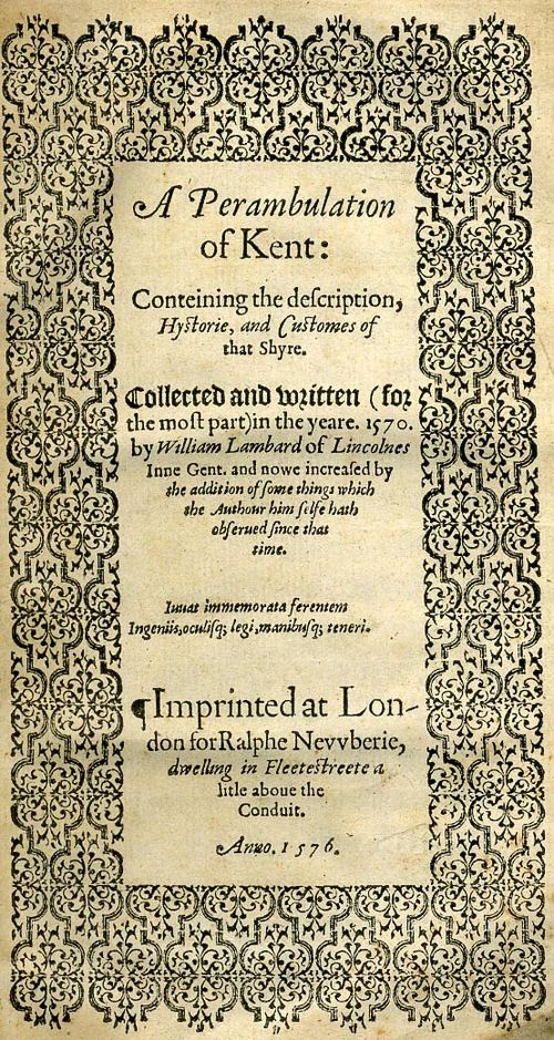
Title page of William Lambarde's Perambulation of Kent (completed in 1570 and published in 1576), a historical description of Kent and the first published county history