Ferries within Wellington's harbour carry commuters and tourists on Wellington Harbour and form a part of the Wellington public transport system. They operate between central Wellington, Days Bay, Seatoun, and Matiu/Somes Island. Until 2016, services also ran to Petone on weekends. Historically they also served Lowry Bay and Rona Bay—the ferries belonged to the Eastbourne Borough Council from 1913 to 1950—and briefly, until 1913, Miramar and Karaka Bay. The development of road connections around the harbour's edge, particularly once they were paved during the 1920s, reduced the importance of ferries to the city's transport network, but regular services still run.
Wellington Harbour, 1894 by J. M. Nairn
The ferry Cobar Cat at Queens Wharf
SS Cobar moves alongside Day's Bay wharf before her 1910 collision.
Collier Koranui passing Taiaroa Heads under the Union Steam Ship flag.
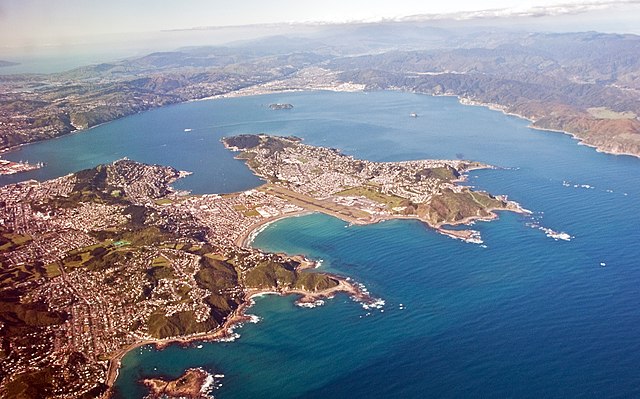
Wellington Harbour, officially called Wellington Harbour / Port Nicholson, is a large natural harbour on the southern tip of New Zealand's North Island. The harbour entrance is from Cook Strait. Central Wellington is located on parts of the western and southern sides of the harbour, and the suburban area of Lower Hutt is to the north and east.
Looking north-east over Wellington Harbour from above Cook Strait Left to right: Lambton Harbour, Miramar Peninsula and the harbour entrance
Lambton Harbour, Port Nicholson, Wellington, New Zealand, ca. 1840
Ferry MV Kaitaki in the Harbour
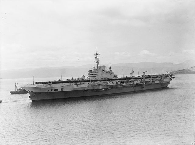
HMS Indefatigable, 1945


