Fife
Videos
Fife is a council area, historic county, registration county and lieutenancy area of Scotland. It is situated between the Firth of Tay and the Firth of Forth, with inland boundaries with Perth and Kinross and Clackmannanshire. By custom it is widely held to have been one of the major Pictish kingdoms, known as Fib, and is still commonly known as the Kingdom of Fife within Scotland. A person from Fife is known as a Fifer. In older documents the county was very occasionally known by the anglicisation Fifeshire.

County Buildings, Cupar, the former headquarters of Fife County Council

Fife House, seat of Fife Council

Looking across the farmland of North East Fife to the distant Lomond Hills
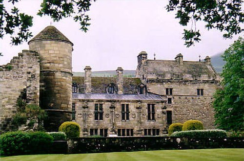
Falkland Palace
Scottish English
Videos
Scottish English is the set of varieties of the English language spoken in Scotland. The transregional, standardised variety is called Scottish Standard English or Standard Scottish English (SSE). Scottish Standard English may be defined as "the characteristic speech of the professional class [in Scotland] and the accepted norm in schools". IETF language tag for "Scottish Standard English" is en-scotland.

A Book of Psalms printed in the reign of James VI and I

An example of "outwith" on a sign in Scotland