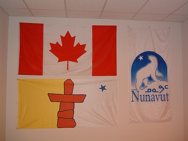
The official flag of Nunavut was proclaimed on 1 April 1999, along with the territory of Nunavut in Canada. It features a red inuksuk—a traditional Inuit land marker—and a blue star, which represents the Niqirtsuituq, the North Star, and the leadership of elders in the community. The colours blue and gold represent the riches of the land, sea and sky. It was adopted following a process where input was sought from local communities and submissions were solicited from the Canadian public.
Nunavut flags displayed on a wall
Nunavut is the largest and northernmost territory of Canada. It was separated officially from the Northwest Territories on April 1, 1999, via the Nunavut Act and the Nunavut Land Claims Agreement Act, which provided this territory to the Inuit for independent government. The boundaries had been drawn in 1993. The creation of Nunavut resulted in the first major change to Canada's political map in half a century since the province of Newfoundland was admitted in 1949.
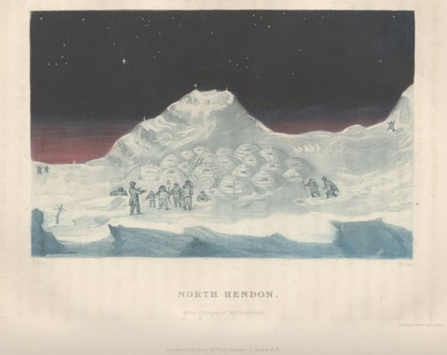
Depiction of an Inuit settlement on Boothia Peninsula in the 1830s, during John Ross' second expedition to find the Northwest Passage
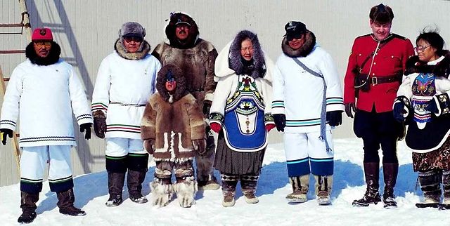
A ceremony commemorating the establishment of Nunavut, April 1999
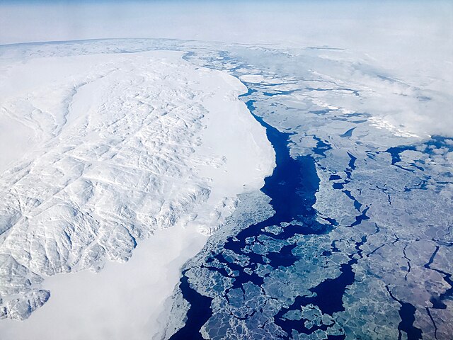
An aerial photo of Nunavut near the Roes Welcome Sound on April 22, 2017
CHARS is one of several Arctic research stations in Nunavut.