At a flat coast or flat shoreline, the land descends gradually into the sea. Flat coasts can be formed either as a result of the sea advancing into gently sloping terrain or through the abrasion of loose rock. They may be basically divided into two parallel strips: the shoreface and the beach.
Wadden creek with exposed sandbar during an ebb tide
Start of the dune belt by the sand cliff
The berm: where the gravel is no longer washed back into the sea by the backwash
Beach losses after a hurricane
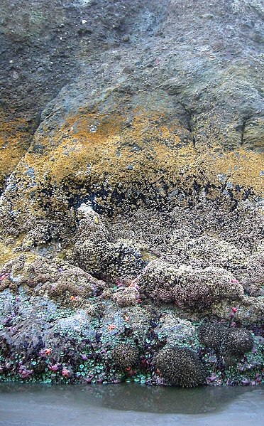
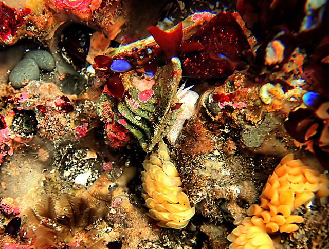
The intertidal zone or foreshore is the area above water level at low tide and underwater at high tide: in other words, the part of the littoral zone within the tidal range. This area can include several types of habitats with various species of life, such as seastars, sea urchins, and many species of coral with regional differences in biodiversity. Sometimes it is referred to as the littoral zone or seashore, although those can be defined as a wider region.
Tide pools at Pillar Point showing zonation on the edge of the rock ledge
A rock, seen at low tide, exhibiting typical intertidal zonation, Kalaloch, Washington, western United States.
A California tide pool in the low tide zone
Nutrition (Eutrophic) Pollution in Assateague Island National Seashore, Maryland


