Forest Hills (Washington, D.C.)
Forest Hills is a residential neighborhood in the northwest quadrant of Washington, D.C., United States, bounded by Connecticut Avenue NW to the west, Rock Creek Park to the east, Chevy Chase to the north, and Tilden Street NW to the south. The neighborhood is frequently referred to as Van Ness because it is served by the Van Ness–UDC station on the Washington Metro's Red Line and is near the Van Ness campus of the University of the District of Columbia (UDC).
Hillwood Estate, Museum & Gardens (2009)
Intersection of Brandywine St. and Linnean Ave. NW, July 2021, in Forest Hills
Soapstone Valley, which is part of Rock Creek Park.
Connecticut Avenue is a major thoroughfare in the Northwest quadrant of Washington, D.C., and suburban Montgomery County, Maryland. It is one of the diagonal avenues radiating from the White House, and the segment south of Florida Avenue was one of the original streets in Pierre (Peter) Charles L'Enfant's plan for Washington. A five-mile segment north of Rock Creek was built in the 1890s by a real-estate developer.
Connecticut Avenue, looking north, from Farragut Square
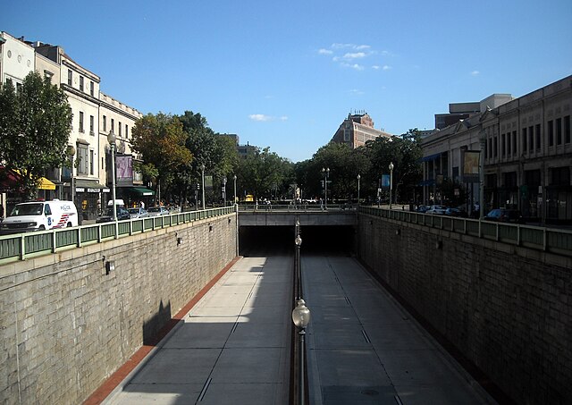
The Connecticut Avenue tunnel runs underneath Dupont Circle.
Connecticut Avenue, near the intersection of Florida Avenue. The Washington Monument is visible in the background.