Fort Frank was one of the defense forts at the entrance to Manila Bay established by the United States. The entire island was designated as Fort Frank, in honor of Brigadier General Royal T. Frank, as part of the Harbor Defenses of Manila and Subic Bays built by the Philippine Department of the US Army in the early 1900s.
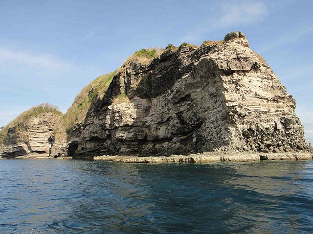
Fort Frank (Carabao Island).
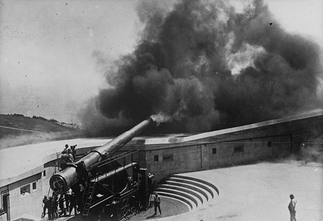
14-inch (356 mm) M1910 gun fires at Fort MacArthur, San Pedro, California.
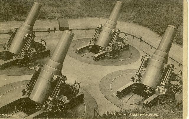
12-inch (305 mm) mortars, similar to those of Battery Koehler.
Manila Bay is a natural harbor that serves the Port of Manila, in the Philippines. Strategically located around the capital city of the Philippines, Manila Bay facilitated commerce and trade between the Philippines and its neighboring countries, becoming the gateway for socio-economic development even prior to Spanish occupation. With an area of 1,994 km2 (769.9 sq mi), and a coastline of 190 km (118.1 mi), Manila Bay is situated in the western part of Luzon and is bounded by Cavite and Metro Manila on the east, Bulacan and Pampanga on the north, and Bataan on the west and northwest. Manila Bay drains approximately 17,000 km2 (6,563.7 sq mi) of watershed area, with the Pampanga River contributing about 49% of the freshwater influx. With an average depth of 17 m (55.8 ft), it is estimated to have a total volume of 28.9 billion cubic meters. Entrance to the bay is 19 km (11.8 mi) wide and expands to a width of 48 km (29.8 mi). However, width of the bay varies from 22 km (13.7 mi) at its mouth and expanding to 60 km (37.3 mi) at its widest point.

Satellite image of Manila Bay (upper half of photo) in 2016
Sunset at Manila Bay
An egret in a mangrove area along Manila Bay.
Mangrove trees along Manila Bay.