Fort Loudoun (Tennessee)
Videos
Fort Loudoun was a British fort located in what is now Monroe County, Tennessee. Constructed from 1756 until 1757 to help garner Cherokee support for the British at the outset of the French and Indian War, the fort was one of the first significant British outposts west of the Appalachian Mountains. The fort was designed by John William Gerard de Brahm, while its construction was supervised by Captain Raymond Demeré; the fort's garrison was commanded by Demeré's brother, Paul Demeré. It was named for the Earl of Loudoun, the commander of British forces in North America at the time.
Fort Loudoun (20th-century reconstruction) from the outside

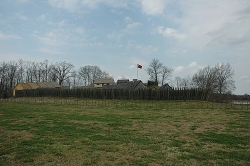
The reconstructed Fort Loudoun, showing key structures

Detail of the south entrance, with sentry box and chevaux de frise

Ernest Peixotto's depiction of Paul Demeré and John Stuart meeting with the Cherokee at Chota
Monroe County, Tennessee
Videos
Monroe County is a county located on the eastern border of the U.S. state of Tennessee. As of the 2020 census, the population was 46,250. Its county seat is Madisonville, and its largest city is Sweetwater.

Monroe County Courthouse in Madisonville

Chota Memorial

Hay bales in Tellico Plains

Cherohala Skyway in autumn