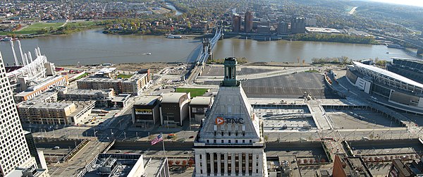
Fort Washington Way
Videos
Page
Fort Washington Way is an approximately 0.9-mile-long (1.4 km) section of freeway in downtown Cincinnati, Ohio, United States. The eight-lane divided highway is a concurrent section of Interstate 71 (I-71) and U.S. Route 50 (US 50) that runs from west to east from an interchange with I-75 at the Brent Spence Bridge to the Lytle Tunnel and Columbia Parkway.

Downtown Cincinnati in 2009, with Fort Washington Way running from center bottom to top-right.

Fort Washington Way and Riverfront Stadium in 1973
The Banks (center) and Fort Washington Way (bottom) in 2011.
Looking east on Fort Washington Way from the Elm Street overpass, the western end of the proposed highway deck.
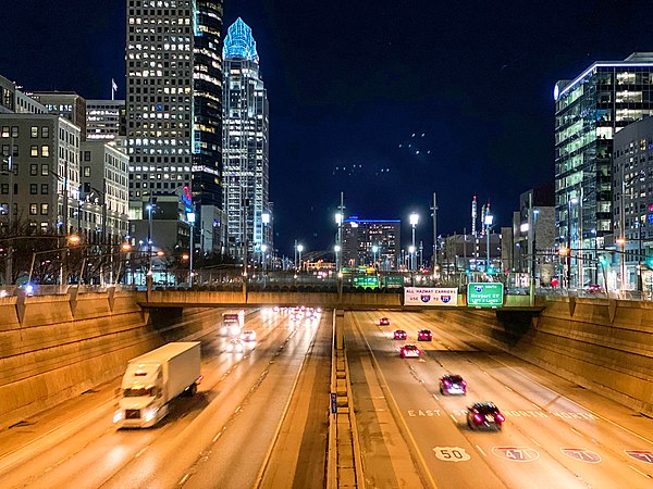
Cincinnati
Videos
Page
Cincinnati is a city in and the county seat of Hamilton County, Ohio, United States. Settled in 1788, the city is located in the northern side of the confluence of the Licking and Ohio rivers, the latter of which marks the state line with Kentucky. The population of Cincinnati was 309,317 in 2020, making it the third-most populous city in Ohio after Columbus and Cleveland, and 65th in the United States. The city is the economic and cultural hub of the Cincinnati metropolitan area, Ohio's most populous metro area and the nation's 30th-largest with over 2.265 million residents.

Image: Downtown Cincinnati viewed from Mt. Adams (cropped)

Image: Roebling Suspension Bridge at night

Image: Cincinnati Union Terminal principal facade

Image: Over the Rhine near Findlay Market