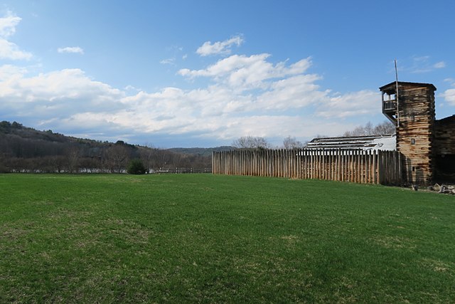
The Fort at Number 4 was a mid-18th century stockade fortification protecting Plantation Number 4, the northernmost British settlement along the Connecticut River in the Province of New Hampshire until after the French and Indian War. It was located in the present-day town of Charlestown, New Hampshire. A recreation of the fort, dating to 1960, now functions as an open-air museum, and was added to the New Hampshire State Register of Historic Places in July 2020.
The Fort at No. 4 Open-Air Museum
General John Stark's statue at the Bennington Battle Monument
The Connecticut River is the longest river in the New England region of the United States, flowing roughly southward for 406 miles (653 km) through four states. It rises 300 yards south of the U.S. border with Quebec, Canada, and discharges at Long Island Sound. Its watershed encompasses 11,260 square miles (29,200 km2), covering parts of five U.S. states and one Canadian province, via 148 tributaries, 38 of which are major rivers. It produces 70% of Long Island Sound's fresh water, discharging at 18,400 cubic feet (520 m3) per second.
The Connecticut River seen from behind Gillette Castle in Lyme, Connecticut
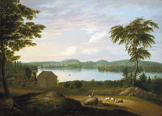
View of Springfield on the Connecticut River by Alvan Fisher (Brooklyn Museum)
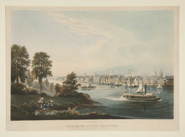
View of the City of Hartford, Connecticut by William Havell
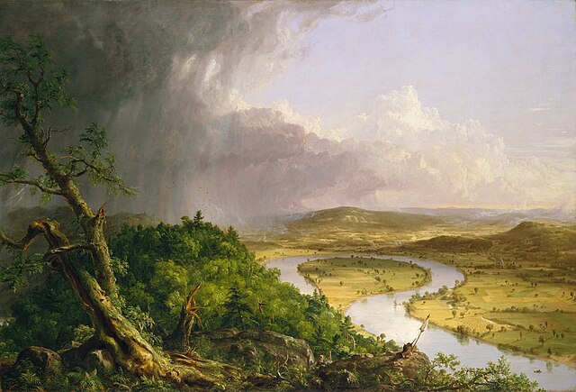
View from Mount Holyoke, Northampton, Massachusetts, after a Thunderstorm—The Oxbow (1836) by Thomas Cole