Fotheringhay is a village and civil parish in North Northamptonshire, England. It is 4 miles (6.4 km) north-east of Oundle and around 13 miles (21 km) west of Peterborough. It is most noted for being the site of Fotheringhay Castle which was razed in 1627. There is nothing left of the castle to be seen today other than the motte on which it was built that provides excellent views of the River Nene. The Nene Way long distance footpath runs through the village.
Fotheringhay, across the River Nene
Fotheringhay Church
Church of St Mary and All Saints, Fotheringhay
North Northamptonshire is one of two local government districts in Northamptonshire, England. It is a unitary authority area forming about one half of the ceremonial county of Northamptonshire. It was created in 2021. Its council is based in Corby, the district's largest town. Other notable towns are Kettering, Wellingborough, Rushden, Raunds, Desborough, Rothwell, Irthlingborough, Thrapston and Oundle.
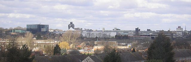
Kettering, the district's second largest town
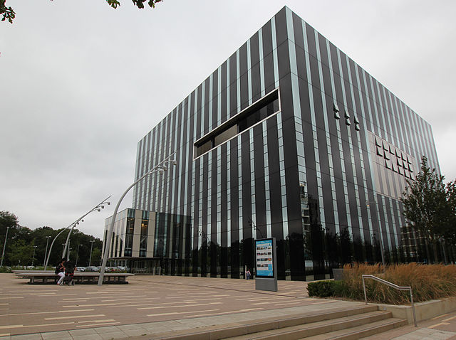
The Cube, George Street, Corby, NN17 1QG
Corby, the administrative centre and largest settlement in North Northamptonshire
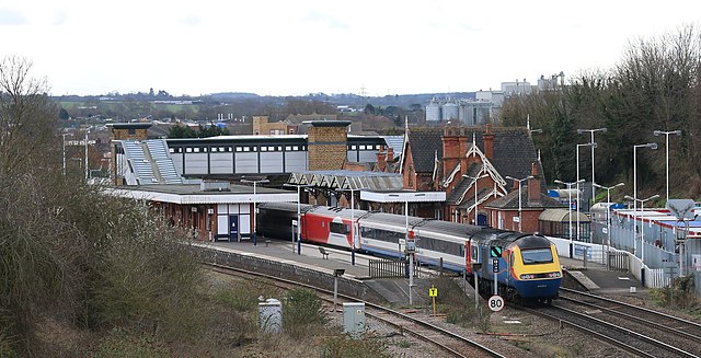
Wellingborough, the third-largest settlement in North Northamptonshire