The Four Corners is a region of the Southwestern United States consisting of the southwestern corner of Colorado, southeastern corner of Utah, northeastern corner of Arizona, and northwestern corner of New Mexico. Most of the Four Corners region belongs to semi-autonomous Native American nations, the largest of which is the Navajo Nation, followed by Hopi, Ute, and Zuni tribal reserves and nations. The Four Corners region is part of a larger region known as the Colorado Plateau and is mostly rural, rugged, and arid.
False-color satellite image of the Four Corners. Bright red lines are vegetation along the major rivers of the area.
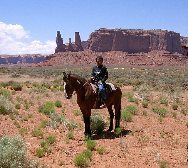
A young Navajo boy on horseback in Monument Valley. The Navajo Nation includes much of the Four Corners area, including the valley, used in many western movies.
Flags surrounding the Four Corners Monument. In clockwise order starting from the frontmost flag, the state flag of Arizona, Flag of the Navajo Nation (twice), Utah, Ute Mountain Ute Tribe Reservation, Colorado, New Mexico, Navajo Nation (third instance), and the flag of the United States
The Durango and Silverton Narrow Gauge Railroad, now a heritage railway, formerly connected the Four Corners area to the national rail network.
Southwestern United States
The Southwestern United States, also known as the American Southwest or simply the Southwest, is a geographic and cultural region of the United States that includes Arizona and New Mexico, along with adjacent portions of California, Colorado, Nevada, Oklahoma, Texas, and Utah. The largest cities by metropolitan area are Phoenix, Las Vegas, El Paso, Albuquerque, and Tucson. Before 1848, in the historical region of Santa Fe de Nuevo México as well as parts of Alta California and Coahuila y Tejas, settlement was almost non-existent outside of Nuevo México's Pueblos and Spanish or Mexican municipalities. Much of the area had been a part of New Spain and Mexico until the United States acquired the area through the Treaty of Guadalupe Hidalgo in 1848 and the smaller Gadsden Purchase in 1854.
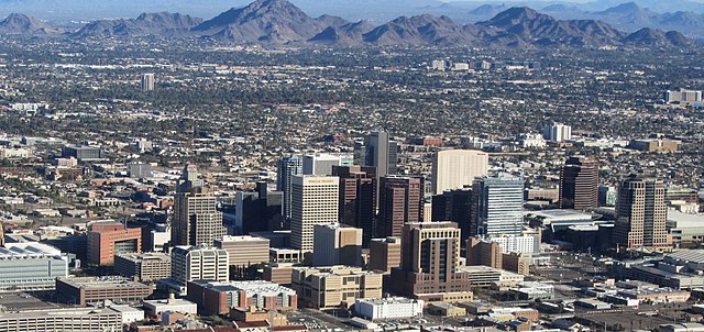
Image: Phoenix AZ Downtown from airplane (cropped)
Image: Monument Valley 2
Image: Cathedral rock sedona arizona 2
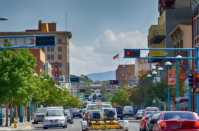
Image: Route 66 Downtown


