Foveaux Strait, is a strait that separates Stewart Island from the South Island of New Zealand. The width of the strait ranges from about 23 to 53 km and it has an area of approximately 2,460 square kilometres (950 sq mi). The depth of the strait ranges between 18 and 46 m. The strait has been described as "one of the roughest and most unpredictable stretches of water in the world". Severe weather and ocean topography in the strait have contributed to multiple shipwrecks and fatalities.
Wreck of the SS Tarurua, near Waipapa Point
Dog Island Lighthouse in the early 1900s
Painting of the Foveaux shag from Catalogue of the Birds in the British Museum, 1897
Stewart Island is New Zealand's third-largest island, located 30 kilometres south of the South Island, across Foveaux Strait. It is a roughly triangular island with a total land area of 1,746 km2 (674 sq mi). Its 164-kilometre (102 mi) coastline is deeply indented by Paterson Inlet (east), Port Pegasus (south), and Mason Bay (west). The island is generally hilly and densely forested. Flightless birds, including penguins, thrive because there are few introduced predators. Almost all the island is owned by the New Zealand government, and over 80 per cent of the island is set aside as the Rakiura National Park.
Paterson Inlet at sunset
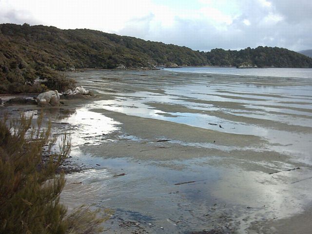
Mudflats near Oban
Satellite image of Stewart Island
Northern part of Stewart Island, with a view over some of the bays