Fox–Wisconsin Waterway
Videos
The Fox–Wisconsin Waterway is a waterway formed by the Fox and Wisconsin Rivers. First used by European settlers in 1673 during the expedition of Marquette & Joliet, it was one of the principal routes used by travelers between the Great Lakes and the Mississippi River until the completion of the Illinois and Michigan Canal in 1848 and the arrival of railroads. The western terminus of the Fox–Wisconsin Waterway was at the Mississippi at Prairie du Chien, Wisconsin. It continued up the Wisconsin River about 116 miles (187 km) until reaching Portage, Wisconsin. There travelers would portage to the Upper Fox River, or eventually, use the Portage Canal. It continued about 160 miles (260 km) down the Fox River, following it through Lake Winnebago and continuing on the Lower Fox over 170 feet of falls to the eastern terminus of Green Bay.

Aerial view of Portage, Wisconsin. The western end of the Portage Canal is visible at the upper right in the picture.

Prairie du Chien

Sauk City

Portage
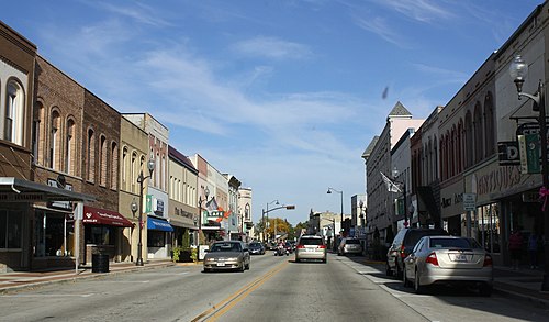
Portage, Wisconsin
Videos
Portage is a city in and the county seat of Columbia County, Wisconsin, United States. The population was 10,581 at the 2020 census, making it the largest city in Columbia County. The city is part of the Madison Metropolitan Statistical Area.
Downtown Portage

Portage High School, 1911

Amtrak station in Portage