Freycinet National Park is a national park on the east coast of Tasmania, Australia, 125 kilometres (78 mi) northeast of Hobart. It occupies a large part of the Freycinet Peninsula, named after French navigator Louis de Freycinet, and Schouten Island. Founded in 1916, it is Tasmania's oldest park, along with Mount Field National Park. Bordering the national park is the small settlement of Coles Bay, and the largest nearby town is Swansea. Freycinet contains part of the rugged Tasmanian coastline and includes the secluded Wineglass Bay. Features of the park include its red and pink granite formations and a series of jagged granite peaks in a line, called "The Hazards".
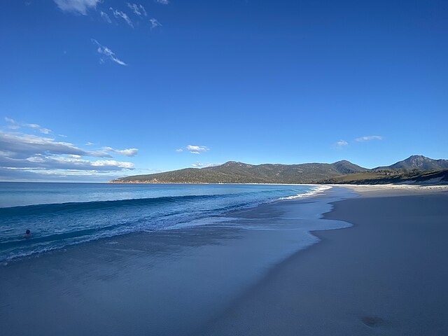
Wineglass Bay
Wineglass Bay viewed from the beach.
Dolphins swimming in Wineglass Bay.
Banksia marginata found in Freycinet National Park.
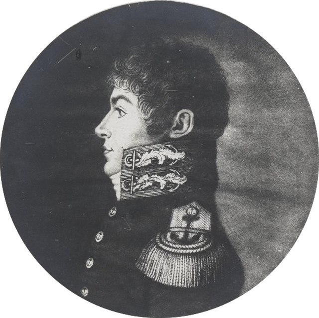
Louis Claude de Saulces de Freycinet was a French Navy officer. He circumnavigated the Earth, and in 1811 published the first map to show a full outline of the coastline of Australia.
Louis de Freycinet
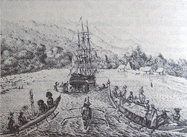
Depiction of Freycinet's exploration to the Southern territories.
Baptism of Hawaiians on the Uranie in 1819