Garvald is a village south-east of Haddington in East Lothian, Scotland. It lies on the Papana Water south of the B6370, east of Gifford. The combined parish of Garvald and Bara, borders Whittingehame to the East, Morham to the North, Yester to the West, and Lauder to the South. It is mainly an agricultural parish. The red freestone once constantly mined in this parish was well known throughout the whole country.
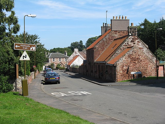
The main street in Garvald
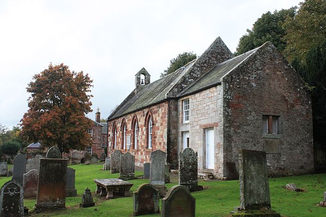
Garvald Parish Church
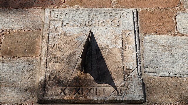
Sundial on wall of Garvald Parish Church
Stoneypath Tower in February 1999. It has now been fully restored
The Royal Burgh of Haddington is a town in East Lothian, Scotland. It is the main administrative, cultural and geographical centre for East Lothian. It lies about 17 miles east of Edinburgh. The name Haddington is Anglo-Saxon, dating from the sixth or seventh century AD when the area was incorporated into the kingdom of Bernicia. The town, like the rest of the Lothian region, was ceded by King Edgar of England and became part of Scotland in the tenth century. Haddington received Burgh status, one of the earliest to do so, during the reign of David I (1124–1153), giving it trading rights which encouraged its growth into a market town.
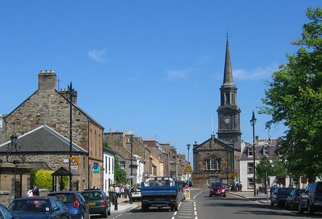
A view of Haddington showing Haddington Town House with its added spire
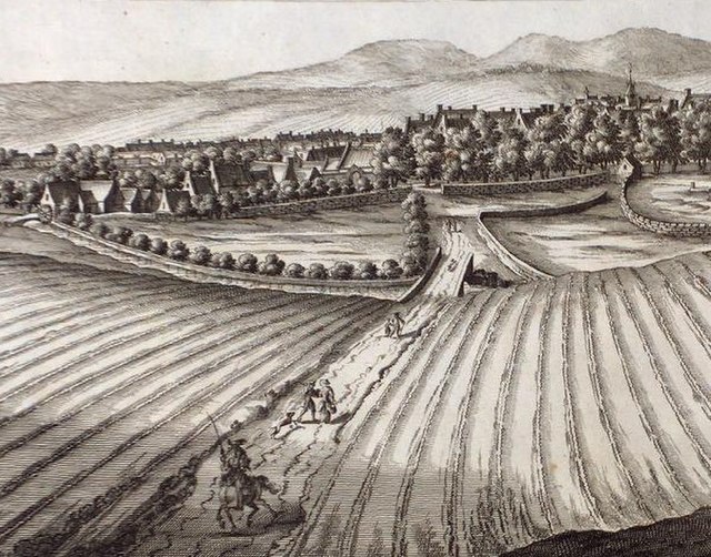
An illustration from the 1690s showing the runrig system in operation in Haddington
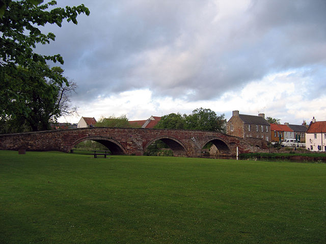
Nungate Bridge, Haddington
St Mary's Collegiate Church, Haddington