Gaur, Nepal
Videos
Gaur is a municipality and headquarters of Rautahat district of Narayani zone, Nepal. It lies at the border of Nepal that links India via Bairgania and has a customs checkpoint.
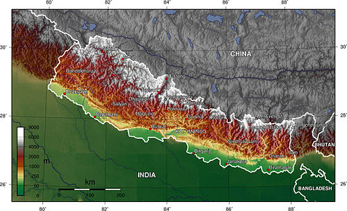
Nepal topography. The green/yellow zones hold the Inner Terai valleys.

Shree Juddha Campus, Gaur

Another view of the highway
Nijgadh International Airport is a proposed hub-airport, located in Kolhabi, directly 68 km to the south of Kathmandu, near the town of Nijgadh in Madhesh Federal Province, Nepal. It is targeted to be
